Page 1
St Pauls to Cirkewwa
The route starts in the popular St Pauls Bay area at the Melita cafe near Kennedy Grove, where there is ample parking and an excellent menu. Turning left out of the gate we ride down to the traffic lights and take a right, then second turning off the roundabout, following the signposts to Gozo along the dual carriageway. The road is deceptive and we find ourselves dropping down the gears as we realize it is steadily uphill, but the reward of a view across St Pauls Bay to the island from which it gets its' name make it worthwhile. So the story goes that in AD60 St Paul was travelling the Mediterranean preaching the gospel when the ship he was on ran aground on the island. This piece of bad luck, in addition to leading to the adoption of the Christian faith which now dominates the island group was also the first of about a million accidents involving vehicles on and around the island group!
Pressing on to the end of the carriageway we go straight on at the roundabout, signposted 'Golden Bay', which is one of the few true sandy beaches on the island and definitely one of the nicest.

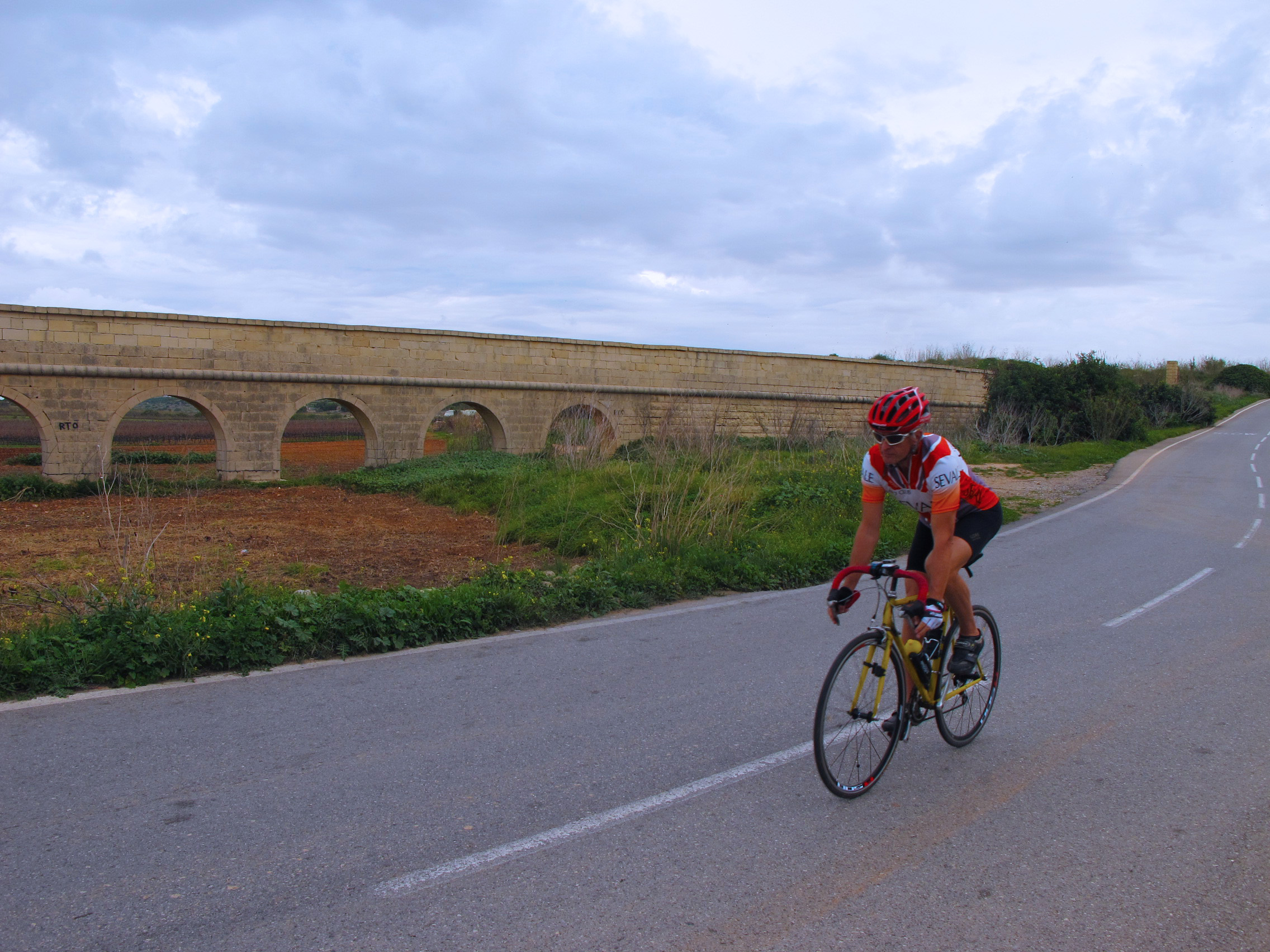
Continue along this road until the end where is appears to be turning into a car park and take a moment to look ahead and see the 16th Century watchtower built by the Knights of St John as a lookout for invading forces, then take the right turn which sweeps downhill. Pass the Gaia Nature Reserve centre and Golden Bay itself before sweeping right, then left and into the small village of Manikata. Follow the road through the village ever uphill until, at the crest, a long downhill takes us towards our first big climb in sight ahead. Round the bend and up we go. It is a cheeky hill, getting steeper towards the end where we find our thighs begging for mercy and as we desperately search for a lower gear, we finally crest the hill only to see the road continuing upwards. Luckily for us, we take the immediate left and enjoy the reward of a long downhill on a single lane road, but beware; as the road bears to the right, it becomes a two-way road with no warning!
Look over to your left and you will see the 'Popeye Village' which was constructed for the 1970s film starring Robin Williams and is now a tourist attraction. If a break is needed here, the cafe is outside the village itself so can be visited freely, serving tea, coffee and even a burger and chips if that is the kind of mid-ride snack that takes your fancy.


Follow the road to the end and take a left to swing down to Mellieha Bay where we find another of the few sandy beaches on the island. The road soon starts another ascent, this time to St Agnes' or as it is more commonly known; the 'Red Tower' mostly because it is a tower and it is red. It is another lookout tower again built in the 1600s and can be visited during opening times for a small entry fee.
From here we are on new tarmac (as of 2012) and the road runs nicely down to the channel separating Malta from the smaller islands of Comino and Gozo. Sweeping left we soon find ourselves riding into the ferry terminal area. Keep left here and continue into the car park marked 'Divers'. Cirkewwa is probably the most popular scuba diving site on the island, featuring reefs, caves and two specially sunk wrecks sitting at 35m which can all be dived from the shore.
If you are here before about 2pm you will almost certainly find Martin 'The Snackman' in residence serving tea and cakes to the divers from his amazingly well stocked van. Take advantage! Failing that, there is a good cafe in the terminal building and another close to the bus terminus, all of which welcome cyclists.
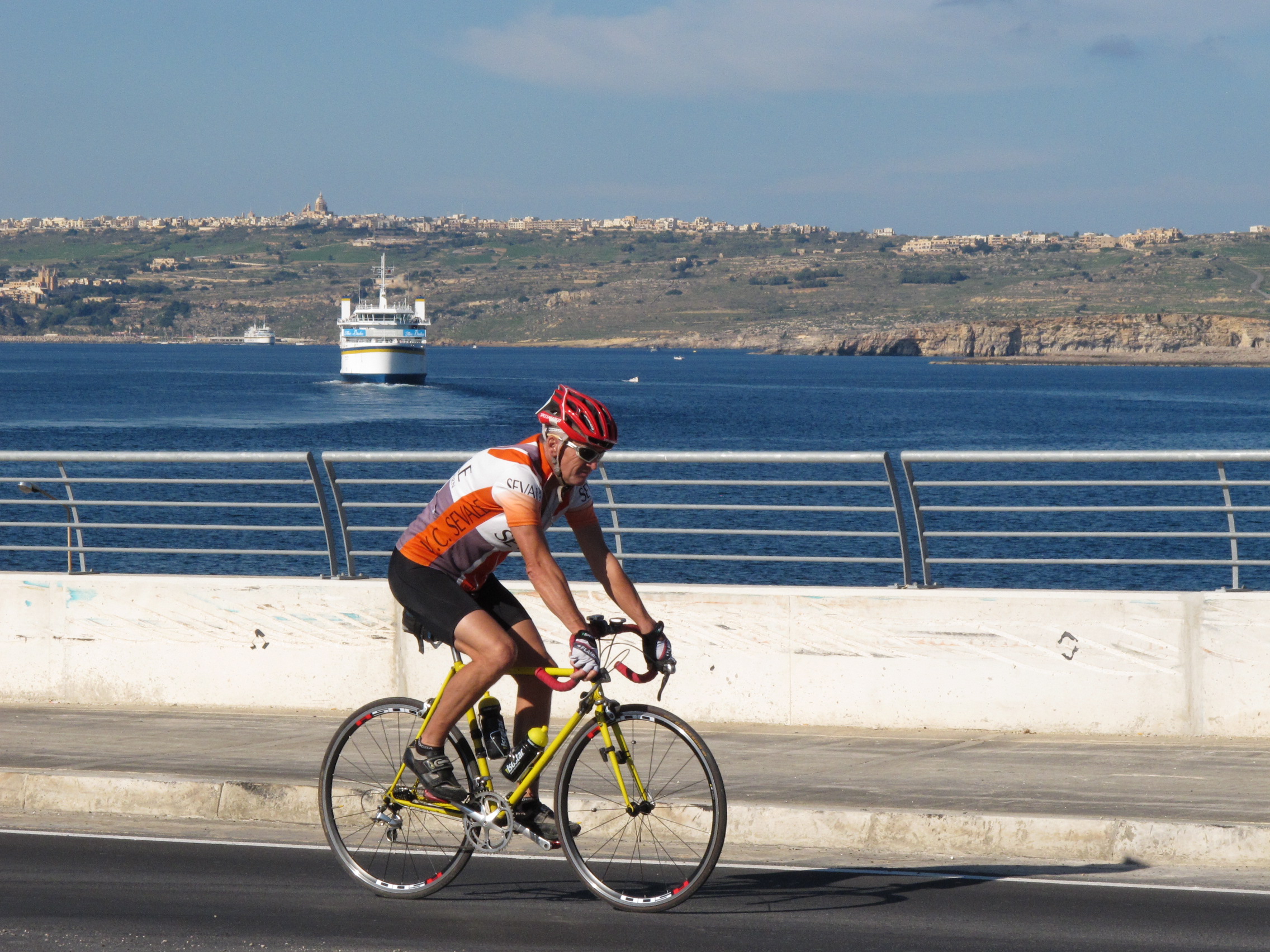

Having had a good break and eaten our fill, we set off on the return journey. The road out of Cirkewwa is a good one taking us to the Riviera Hotel before turning up the long climb back to the Red Tower ridge, it then sweeps back down to Mellieha Bay again. Take care here, the tarmac is uneven and road markings non-existent forcing the unwary cyclist into the middle of the road. At the end of the bay, take the second exit at the roundabout which takes us up the long climb to the top of Mellieha itself. Here we continue along the bypass until taking a right turn on the long sweeping left hander.
The road takes a series of sharp bends wending its way to the forest and beyond, eventually exiting onto the Golden Bay road we enjoyed earlier on. Go straight over, well, left and then right and begin the final climb of the day. As you round the first bend you get a good view along the valley to Golden Bay. Continuing up, spare a thought for the riders on the annual 'Tour of Malta' who negotiate this hill no less than ten times on the circular stage. You may notice the word 'Finish' painted on the road - this marks the finish line for the race, but for us we have a few kilometres to go yet.
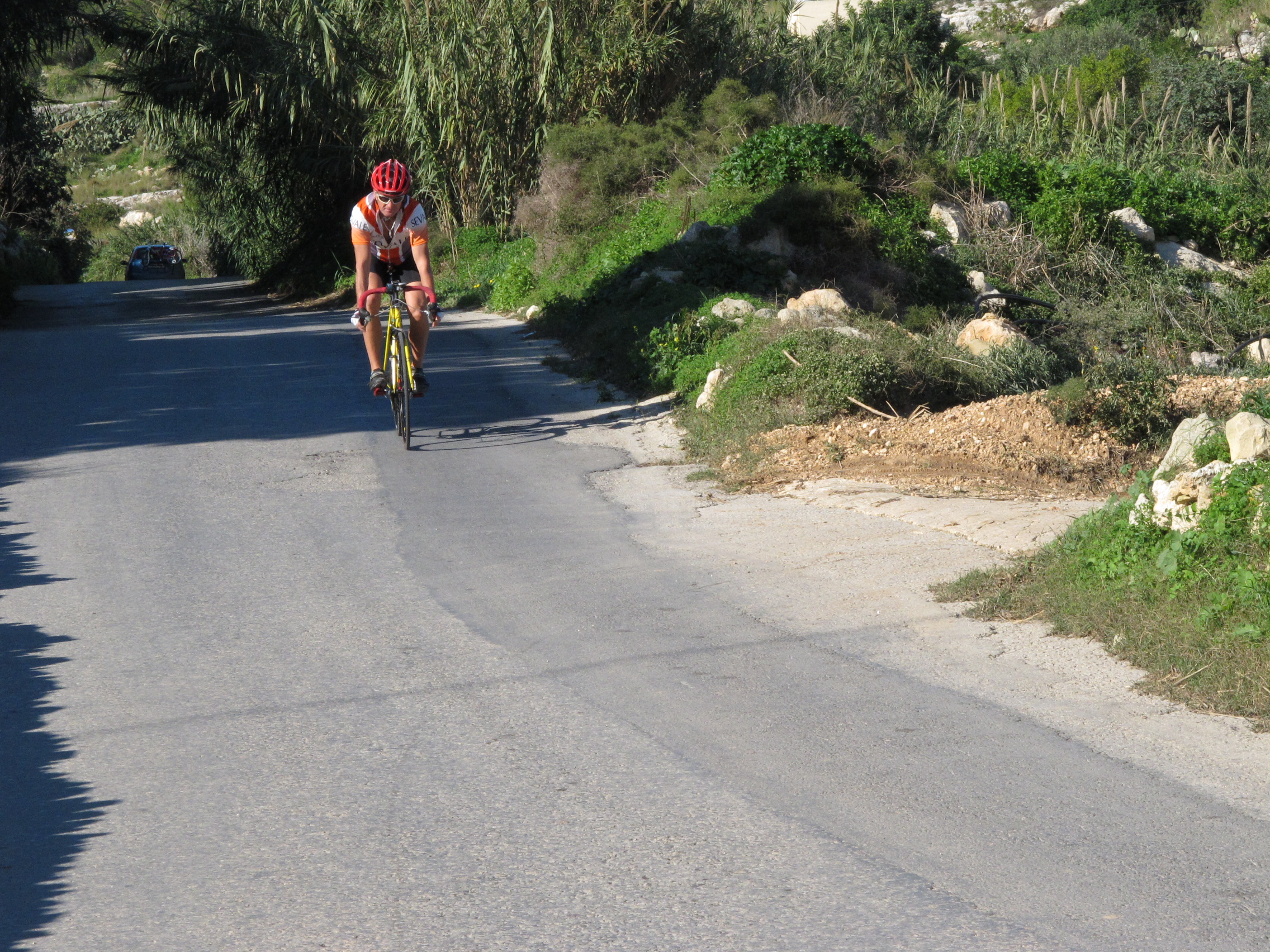
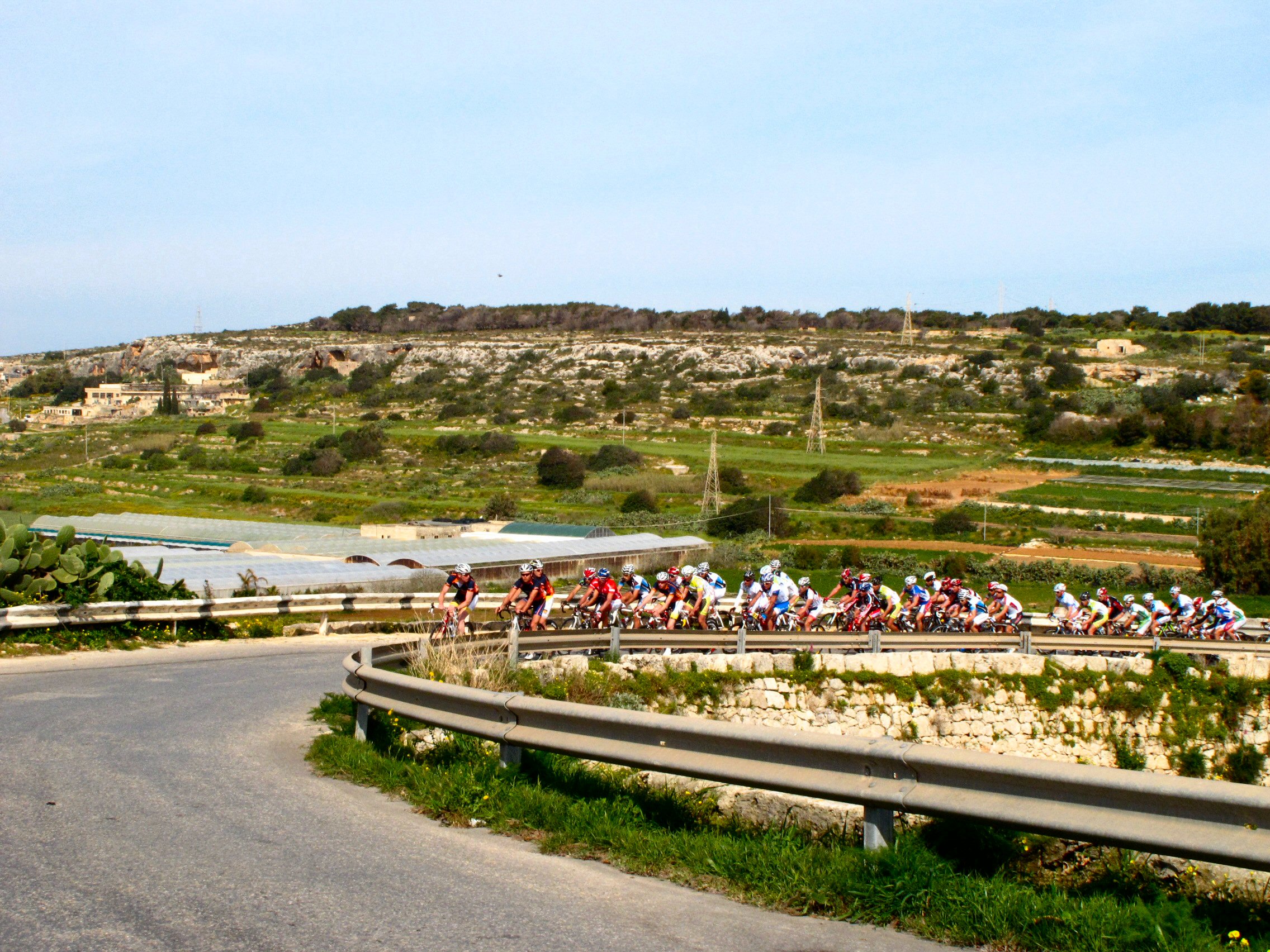
As the roads crests and starts downhill, take the left into the small but very beautiful village of Wardija and maybe stop to admire the 'Castello di Baroni', a former hunting lodge built in 1783 and the former home of a number of Maltese nobility. Plaques on the walls describe the history in detail.
We have a short flat section until the road dips down steeply to the main road. Take care down here, the road narrows quite significantly by the first building and Maltese drivers are not the most accommodating when it comes to giving way! At the main road, take a left then third exit at the next roundabout. Straight on at the lights, following the coast road for a few hundred metres until taking the first left takes us up a short but leg tiring climb to the top. A final right, and right again into the car park from where our ride began.
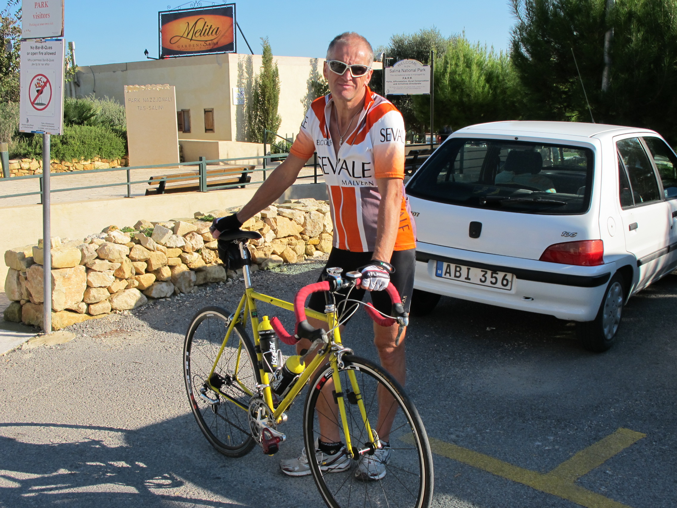
Dismount, park bike, walk to cafe, order a large pint of Cisk (the local brew), or a cappuccino and find a seat, admiring the view of the fountains and gardens, smug in the knowledge that you have just tackled an excellent route around the North part of the island and maybe think ahead to the longer route to the West of the island next time.

Page 1
Abergavenny to TalyBont Canal Ride
On a recent walking trip to the Brecon Beacons to bag a final peak for my collection, I hatched an idea of riding the Monmouthshire to Brecon canal, or at least part of it. The section I had in mind ran from Abergavenny to Tal-y-Bont which, according to road signs, was about 16 miles apart, giving a 32 mile ride in total if the maths I learned as a schoolboy hadn't failed me - perfect.


Riding along a canal has many benefits for the cyclist and husband who has to convince his wife what a good idea it is; there is lots of shelter from the wind/rain, it is very flat, there are plenty of opportunities to stop for coffee, there is no traffic to worry about and it is a day out, not a race so we can stop any time we like for a break. I felt I could sell the idea with a reasonably chance of success.
So it was that on a bright late March morning, we parked in the small village of Llanfoist in a convenient car park near the start of the cycle way that runs towards Gilwern, got the bikes out, strapped on the panniers and loaded the saddlebags with food and other essentials for the day and set off along the tarmac track.
Within a mile or so, we reached the canal proper and were soon spinning along the towpath. The going is easy and the ground firm but we had elected to bring our Mountain Bikes rather than the road bikes to be on the safe side. On reflection, it would have been possible to get away riding on road bikes but there were a few sections where the bigger tyres and suspension really helped so it was a good decision.


Once past Gilwen and Govern we were out in the countryside proper with views of Sugar Loaf to our right and Tor y Foel straight ahead, both still covered in snow and looking very appealing.
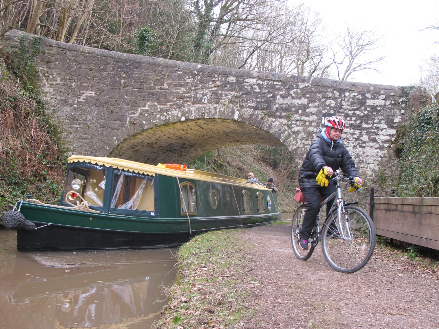
The scenery along the canal seems to be the same but different. Periodically there are small bridges crossing, sometimes big enough for cars, sometimes only a horse and cart could cross. On our short section there were around fifty bridges which means one every third of a mile or so separated by towpath of generally good quality. The bridges were all different in construction and obviously built at different times as the need arose. They are numbered but that must have been done some time after their construction otherwise the numbers would have needed to be shifted each time a new bridge was added, or in the case of the most recent bridge, given the number 100A so as to obviate the need for someone to remove every number and shift it down by one - could you imagine being given that job?


'We need you to take that number off the bridge and put it on the next one'
'Ok fine, done that, what do you want me to do with the number I took off the other bridge?'
'Put it on the next one'
'So what shall I do with the number I took off that one?'
'Put it on the next one'
'When do I stop?'
'When there are no more bridges'
'Oh'
By many of the bridges we noticed wooden planks stowed nearby which were and are still used to slot into narrow sections to allow that section to be isolated so that it can be drained for maintenance work to take place.
There seems to be an active policy of towpath repair going on as, on a couple of occasions we encountered workmen engaged in repairs to the path, none of which stopped us, but it was a close call in one place as we had ignored a barrier and were admonished by the workmen. It is worth carrying the relevant map just in case you do have to leave the canal at any point. The section from Abergavenny to TalyBont is covered by OL13 at a good 4cm to 1km scale.
A few miles from Tal-y-Bont is the excellent public house 'The Coach and Horses' at Llangynidr which proved temptation too far and we made an executive management decision to stop for coffee. Despite the cold, it was a nice day so we sat outside, enjoying the fresh air and our relaxed approach to the day.


Finally we had to leave and set off for the final ride to Tal-y-Bont, passing one of the very few sets of locks used to raise or lower boats as they made their way along the route. Shortly afterwards we had our first detour off the towpath where the canal disappears down a tunnel. We left it and rode over the short hill and down the other side to rejoin and continue our way. On arrival at Tal-y-Bont, we stopped for lunch on the tow path just outside the village where there was a plaque showing the history of the canal and how it was used to ferry coal and other supplies from Brecon to Monmouth and beyond, built around the end of the 18th Century. In this day and age it is difficult to imagine that canals were built to allow transport of goods around the countryside. As you drive down a busy motorway stuck behind dozens of lorries you might be forgiven for wishing it was still like that today!
There are a couple of barge holiday companies along the canal, offering barges for hire - it must be a very relaxing way of touring; maximum speed of 4 miles per hour, stop when you want, quiet, peaceful and everything you need 'down below'.
Soon enough it was time to turn and head back to our starting point. The return journey passed quite quickly but this time we had better views of Sugar Loaf and the mighty Blorenge to our right. Both mountains worthy of attention as they feature fairly stiff climbs, especially Blorenge from the Abergavenny side.

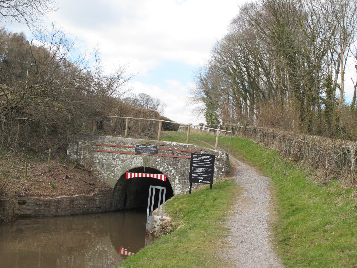
As we approached the finish we left the canal down a steep path - not one we had come up, but this, coupled with a slight downhill all the way back to the car gave a fitting end to an excellent day out.
The total mileage for the day was a shade over 30 miles according to my GPS, the height gain/drop was almost nothing and the total riding time was just over 3 hours - a leisurely pace which was the intention.
We are already thinking of riding the full length at some point either one way in a single day or maybe there and back in two with an overnight camp/bivvy/hotel at Brecon.



Page 1
Devon Cycling Weekend
Friday
We got off to an early start and with a trouble free trip were soon pitching the tent on the Coast View campsite. The proved surprisingly easy given that it was a three berth tent with 500kgs of tent poles, three rooms and a large porch! The only slight problem was that we realised we had pitched it back to front but only at the point where turning it around was out of the question without demolishing it first.


We had an early lunch, taking full advantage of the sunshine and Andys terrace.
Todays ride was a 50 mile ride around Dartmoor with an ascent of Haytor. Soon after we set off, we realised that in this part of the world, you either go uphill or downhill with seemingly much more uphill than down!
Andy took us on a tour of Teignemouth to start with, lulling us into a false sense of security as we weaved in and out of holidaymakers and enjoyed the sea-front views. Then it started; A sharp climb up onto small footpaths that twisted and turned, finally spitting us out onto a road, but not before some mild off-road riding. We followed the coast along for some time, even abandoning the road for more off roading - cutting the corner we were told! All this eventually led us to Exeter where we crossed the busy A379 at the swing bridge before more cycle track led us around and through the outskirts of Exeter.
We headed inland towards Bovey Tracey, the gateway to Haytor via some undulating but pleasant roads. A stop here for toilet, drink and general bolstering of spirit before we were told that the route to the top simply followed the road - easy! We would regroup at the top so every man for himself. As we left town I saw a sign 'Haytor 3 miles'. What it didn't say was 'Up a jolly steep road'. As we climbed the gears came down until the biggest ring on the back and the smallest on the front were reached. Some had triples, others just two chain rings. Up we went through tree lined roads, the gradient approaching 15% at places. Eventually we cleared the trees but the road continued steadily upward until finally flattening out and even down a little, but we could still see the Tor above us - the game was not over yet!


Ryan had led some way ahead most of the way up at this point with myself behind and Ian and Andy behind me. It was now that things changed; Ian and Andy came past me and I tucked in behind them, glad of the chance to rest and let someone else do the pace-setting. We closed on Ryan, eventually overtaking him just as the gradient increased again. Ian moved to the front, followed by me, then Andy and Ryan behind and with the added spur of some wild horses, Ian pushed ahead to claim the victory. Not content with that, continued past the summit and off down the hill. I followed. Shortly he pulled into a layby, stating that he thought the road went up again, but clearly not.
We retraced back to the actual summit and regrouped with Jules and Adrian, stopping for photos and general back-slapping before starting the descent back to Bovey Tracey. The downhill was exhillarating for the first section with wide roads and good clear views, but we did have to reign in our enthusiasm lower down as the road narrowed considerably and would have been disasterous if a coach or large vehicle came the other way.

Once we had all assembled we set off for Teignemouth again along a mixture of major and minor roads including a section of closed road which was eventually terminated by a rather annoyed large gentleman indicating the closed sign!
Finally we arrived back in Teignemouth and of course, headed for a pub! 'Just the one', which turned into two somehow as it often does saw six riders make the tough climb back up to the camp site and head for the shower block.
Showered and refreshed we rv'd at Andys chalet where the business of meal preparation began. Being lads on holiday it was, of course BBQ and beer, but the food shopper had bought salad which also got prepared and, rather amazingly, consumed.
Later we descended on Teignemouth on foot for more beer which then required yet another ascent of the hill, this time via the golf course.
Some (all bar me) of the lads decided whisky was called for and so began a session....
Total Mileage 50m
Total Climb 4547ft
Total Ride Time 04:04:00
Saturday
Today was the big day; 70+ miles around Dartmoor. Breakfast consumed and bags packed we made ready to leave but as we wheeled the bikes out, Adrian discovered a puncture so the Grand Depart was delayed 15 minutes whilst he effected repairs and then we were off. The usual descent into Teignemouth was followed by an ascent out. Our destination was, of course, Dartmoor and some of the other Tors we had seen from a distance yesterday. On the way, we were subject to the worst 'shower' of the day, prompting fast donning of waterproofs which were only finally removed at Bovey Tracey which was the jump point for the big climbs, but this time the route out would be different but no less, and at times, more steep than yesterdays climb, eventually getting the better of one or two riders who were forced to walk sections. Andy had devised a fiendish route including a steep climb up a very narrow road where the centre was grit and the outside subjected the rider to stinging nettles! At the top, a lay-by and coffee wagon proved irresistable and a halt was called.
Suitably refreshed we continued up and over one of the Tors and via some very undulating roads eventually exited a few miles from 'Two Bridges', originally our planned stopping point but on the road discussions prompted us to push on. As we approached Two Bridges, a number of riders were clearly suffering so those in front made an executive decision that Two Bridges would be reinstated as the lunch stop. Sadly, circumstances beyond our control changed this - as we pulled into the car park it was clear that a wedding was taking place! Negotiations with staff failed to persuade them that they could fit us in, so we had no choice but to continue to Hexworthy for lunch. As we rode on, we watched a foot race in the opposite direction which turned out to be a 32 mile ultra marathon - fair play it must have been a hilly course!

At our stop, we observed that we had completed just over half the total journey and averaged about 10 miles per hour! Andy convinced us that the second half would be much quicker...hmmmm....
Pasties and coffee consumed, we set off, guess what...uphill!
The road continued to undulate and the group spread out. We periodically regrouped and with about 15 miles to go, arrived at a long sweeping downhill - perfect! The road twisted and turned through trees and into sunlight, mostly fast but on a couple of occasions requiring braking and careful leaning into wet bends. We all arrived safely at the bottom and once together again began the ride back into Teignemouth again, now on familiar roads from yesterday.
Of course the pub could not be missed 'Just for one' which of course was the same 'one' as yesterday. Again we had the final climb with riders dispatched to the chip shop for carb-supplements.
The evening was spent showering, eating, drinking and relaxing with the now-familiar trip into the big city for beers before yet another long walk back, testing heart and leg to the limits.
Total Mileage 69.5m
Total Climb 6493ft
Total Ride Time 05:24:00
Sunday

Our final day and an easy one planned, just 20 miles down the coast to Torquay and Paignton and a loop back round to the estuary and lunch at Coombe Cellars just a few miles from the camp site.
We had elected an easy start, planning to leave around 11:30 so those of us who were camping set about taking the tent down. Of course, seasoned campers will realise that such an act only offends the rain Gods who vent their anger by ensuring that rain falls at the worst possible time and so it was that we were inside the tent, removing the bedrooms that the heavens opened. We had no choice but to sit and wait it out. The tent would go away soaking wet which meant it would have to be re-erected when home.
Finally we were away and in a change of route, we headed uphill from the camp site to start our ride to Torquay.
Just a few miles in and on the outskirts of Torquay, disaster struck with Andys rear gear cable snapping! He had a replacement, or so we thought, but unfortunately it was the wrong sort so would not fit as it had soldered nipples on each end which refused to be removed! We had no choice but to phone Jules who had decided not to ride this day. Luckily he was quite close so was soon on the scene swapping bikes with Andy. We were off again.


Torquay and Paignton, whilst pleasant were best left behind as the traffic and pedestrians made progress slow and at times dangerous. Of course no day would be complete without a major climb and today was no exception with the route out being long and arduous, thighs screaming for mercy, but we got to the top and enjoyed a few miles of easy riding, punctuated by small showers, non big enough to warrant waterproofs but close! Eventually we arrived at the lunch stop, locked bikes and headed in to be greeted by the staff - clearly five cyclists in full colour regalia presented them with no problems and we were ushered to our reserved table by the window.
Lunch was a roast affair for some, pasta based for others along with a dessert that could have been a touch larger - but then, couldn't they all?
As we sat and watched the rain fall onto the river our thoughts turned to the bikes. Sooner or later we would have to move, but as there was no hurry, we dawdled until it could be put off no longer and we headed out.
Luckily the rain had pretty much stopped, although we did all wer our waterproofs but as we only had three miles or so to ride it wasn't a major problem. I was a little concerned about riding so soon after a big lunch but managed without incident, even the climb to the camp site went well.
It had been an excellent weekend, all that remained was to shower, change and drive home - luckily for me I was a passenger so snoozed for the couple of hours it took.
Total Mileage 25.5m
Total Climb 2454ft
Total Ride Time 02:03:10

Page 1
Hay on Wye Black Mountains Roundabout
The first annual Hay on Wye bike festival was held over the weekend of the 12-14th April and proved, despite the inclement weather, to be a very successful event with a large variety of events including workshops, long and short guided rides. mountain biking and even a cyclo-cross event.
I had decided to enter the guided ride on the Friday; The Black Mountains Roundabout, followed on the Sunday by the Sportive. Rather than staying down for the weekend, I elected to drive there and back on the two days, given that it was only about 90 minutes each way.
The Friday ride was lead by Tom Sturdy; an ex Ironman triathlete with an impressive cycling predigree - we may be in for a hard ride!
There were five of us in the group in total, including Tom who gave us a comprehensive brief before the ride, explaining that we would be riding about 50 miles and include a couple of good climbs; one of which was a Cat 2 climb, but optional. We set off from Drovers cycle Shop on the outskirts of Hay at an easy pace to get the legs warmed up but of course, being in the Brecons, we soon started to gain height.
The pace was at the level where we could chat and so spent the first hour or so getting to know each other. Tom periodically gave us briefings about the terrain to come and how best to approach/attack it. Eventually we came to the decision point, left would take us in the direction of the big climb from Llangynidr to the top of Myndd Llangynidr ridge, right would swing us around to Crickhowell and avoid it. Of course, we all elected for the climb. Gulp!
I have spent many years walking in this area, but not much on the bike so was enjoying a different perspective of the mountains.
Finally, the climb arrived and we were recommended to take it at our own pace and regroup at the top. Tom told us that when we reached the cattle grid we would be about half way up. Off we went. The road is steep right from the start but I tried to keep at least two cogs in reserve for later so slowly peddled up in third gear. Of course the group split up as we found our own pace. At one point Tom, who had set off last came flying past as if we were standing still and disappeared into the distance. I comforted myself by thinking just how many years I was giving him in age!
Onward and upward. My plan for the reserve gears now gone, I was in the lowest cog and no sign of the cattle grid. Head down, teeth well and truly gritted I pedalled on begging for the half way point to appear which it did just after the corner. If this was only half way, then it was going to be a long climb to the summit but I pressed on. Tom, who had stopped to shout encouragement came past again, advising me to take the hairpin on the outside to avoid the inner steep section. I followed his advice and came around, feeling the road flatten slightly I pushed on, hoping his 'half way point' was a joke (it wasn't). Up we went, and as we did so, noticed patches of snow and the wind beginning to pick up as we became more exposed. Finally we crested and the road flattened. 'Well done' shouted Tom, 'the top is by that truck' he said, pointing way up the mountain! We had a brief respite as the road dipped slightly before the final - yes really - push to the summit.
I arrived breathless at the top, but happy that I had made it without stopping and even more happy that I was the second man there. We regrouped and gave everyone time for a quick breather. We have some nice downhill now Tom told us and gave us a brief on how to descend and what to expect on the ride down to Crickhowell. Basically it was a long, fairly straight road with no sharp bends and plenty of good visibility. Off we went and down. It felt great after the ascent and we were flying down. My speedo registered 50mph which was impressive.
Crickhowell was the next stop where we joined the main A40 for a couple of miles before breaking off for the long climb to Pengenffordd. Again we were instructed to do our own thing, so set off at our own pace. Now this climb is a steady but not steep climb so I found myself climbing at a good pace, enjoying myself, feeling quite strong and even increasing the pace a couple of times.
From here it was down the long descent the other side and a swing round through Talgarth and from there it is a straight run into Hay on Wye about 12km distant along the A438 and the B4350 and into the bike shop car park to finish.
A great ride, 50 miles, 1,200m of climbing and a Cat 2 thrown in. Nice! The weather had been reasonably kind to us with only a few very slight showers.

Page 2
Hay on Wye Sportive
Which ever way I looked at the weather forecast, Sunday was not shaping up well for a 65 mile ride in the Brecons. My only recourse was to assume that the BBC had no idea what they were talking about and in fact the sun would shine all day rather than their predicted rain and at times heavy rain accompanied by wind or strong wind. They were right, I was wrong.
Sign on time was 08:00 - 09:00 with start times when you wanted. This was my first Sportive and, having seen the publicity photos had incorrectly assumed it would be a mass start.
So it was that a little after 08:30am, Rob, one of the guys I had ridden with on Friday and I set off. The organisers clearly had an evil streak with the first four 4 miles being directly uphill. Progress was slow and steady.
As we got ever higher we noticed the wind begin to blow - so strong at one point that a rider ahead of us was blown clean off her bike! Luckily she was okay but decided to walk the final section to the summit rather than try to get back on the bike.

From here it was undulating up and down along some fairly poorly maintained roads, that coupled with now driving rain made one or two competitors turn around and give up, but we pressed on. It would take more than driving rain, poor roads, high winds and steep climbs to put us off!
I was pleased to be riding with Rob, who, being a local, knew the area and the route well. My GPS had thrown a wobbly when I tried to download the route and it has to be said that the signage was not the best with a distinct lack. The organisers had told us that they would be on turns only and if there was no sign, that meant straight on. That is fine, but there were some marginal calls on some of the country lanes.
Eventually we came to Vowchurch, the location for the first feed station but pressed on. We both had plenty. I had bought two 'gels', a banana bar and a bag of jelly babies in addition to my two water bottles full of isostar so felt well-prepared. I took my first gel which tasted nice and gave me a boost - well I felt like it had which is half the battle!
From here the road meanders through fairly quite country lanes and small villages, finally emerging on the B4521 Which is followed for several fairly quick but dull miles before turning off and up towards Llangattock. Given that we had been riding for about two hours, it was time for a feed, so took a couple of bites from my banana bar. Little and often works best for me. A long pull followed as we once again gained height before emerging onto the main A465 which is followed for a short section until the right turn towards Llanthony Priory and the long ride up the valley.
The road is narrow in places, very narrow in some places and the quality extremely poor at times. Couple that with yet more rain meant it was a case of gritting teeth, head down and just counting the miles but all the time looking ahead and picking the best route around the pot holes, gravel and other small obstacles.
We passed the 50 mile mark around the same point as the final feed station where we pulled in for a final stock up. I filled one of my bottles with water - I still had some isostar left in one, but the taste was beginning to make me feel more thirsty, not less. I also grabbed a couple of energy bars but as we came out I took my second gel to help me through the final 15 miles.
Rob, my cycling buddy had told me about the Gospel Pass. I knew about it from my walking days and had driven it a number of times, but never on the bike. It is a hard pull, no doubt about it.
Climbing up to Hay Bluff we were both struggling with tired legs and a desire for it to end. We had been in the saddle just over four hours at this point so the last thing we needed was a big climb. A photographer had positioned himself about half way up so we tried to look as if we were still fresh - time and the photographs will tell whether we succeeded.
Finally we crested the summit and Rob told me that we could almost freewheel the final 3 or 4 miles to the finish - happy with that we set off.
Due to the rain and high humidity, my glasses were totally misted up so I decided it would be easier and safer to remove them for the downhill. Good move - with the wet greasy twisty turny roads I needed my best visibility as I tried to keep up with Rob who powered ahead - local knowledge is a wonderful thing. I managed well enough as we powered down the hill that we had climbed first thing this morning. Finally we emerged into Hay, and, braking heavily turned sharply into the finish pretty much together.
It had been a baptism of fire for my first Sportive. I had hoped to break four hours but was well enough pleased with 4:20 given the conditions and the route. As I write, I haven't seen any results so have no idea whether my time was a good one, but I had felt pretty good on the ride and having a good similar standard rider to share the pace-making had been perfect. I am certain I would not have finished anywhere near that time if it had been a solo effort, so thanks Rob.
The route was an excellent, if tough one and one I might be tempted to ride again in my own time although I might wait for better weather.
The results came in, and amazingly, Rob and I were second overall which I am pretty pleased with for a first Sportive. The winner was about 40 minutes faster but there were some riders who took over eight hours!

Page 1
British Heart Foundation Sportive
Sunday May 19th saw the sun come out with a vengeance which was just as well as I had entered my second Sportive, this time a local event at Cheltenham in support of the British Heart Foundation.
The programme of events indicated that registration would be open from 7:00am and start times from 8:00am so I planned to arrive about 7:40 which I figured would give me plenty of time to get the bike out, decide on a last minute kit selection - never an easy task in the UK! As it happened I wore shorts and my brand new BHF top so felt very smart, especially as the top matched my red/white/black theme for the bike and other accessories, well, apart from the blue collar on the T-Shirt but that was okay.
Once parked I set off in search of 'sign on' to be told that there was none and that I should proceed to the start about half a mile away, a nice little warm up. On arrival I was just in time to miss the safety briefing but figured I could guess the content - don't let the big wheeled machines hit you! Then, we were off out the gate and up the lane towards the main Cheltenham to Winchcombe road and a right down towards Cheltenham. There were probably 30 - 40 riders in the initial group and I looked around to see if groups would form. Soon enough I found myself in a group of ten or so riders who looked like they were out for a ride rather than a social event so I latched onto them.
Through Cheltenham outskirts past numerous traffic lights which of course were all against us until we eventually came out on the main A40 through Charlton Kings and past Dowdeswell Reservoir. The route soon left the main road after the long climb up from the reservoir and I found myself in a leading group of five or so riders, some electing to take turns at the front, others not so keen which either meant they didn't understand the rules or they were only managing to keep up because they had someone in front to take the wind off them - it is amazing how much energy you save tailgating.

From here it was country lanes through Syrehampton, Brockhampton and skirting Charlton Abbots in beautiful countryside. The planner had obviously given a lot of thought to the route and seemed to be doing a good job. Just after the ten mile point and being in a leading group with two other riders we hit the first big climb of the day, up to 1,000ft and I have to admit my legs went a little and I was quite disappointed to see the two others heading off into the distance. Oh well, another solo ride for me!
At the top of the climb I felt I recovered quite quickly and as I could see the two riders ahead of me, resolved to give chase in the hope of catching them. The route went on and up and eventually flattened out at the top of Sudeley Hill, one of my favourite hard climbs. I knew it was flat or downhill from here for a while which would give me time to recover more and maybe catch the leaders, but of course it was downhill for them too and I soon lost sight of them on the road. Never mind, press on, keep the cadence high, there is still 25 miles to go.
From here the route passes through Guiting Power before turning fairly sharply North to Temple Guiting, a village I had passed through a couple of weeks before on foot walking the Winchcome Way. My quarry were getting closer and as we came into Temple Guiting I got 'back on'. Relieved and a little tired I took some time to rest behind them before taking my turn at the front again. Having gained some experience of group riding with club and other friends I have learned how to work as a group, but clearly neither of my companions had spent much time in group riding as whenever it was their turn at the front, they came past like rockets so we then had to chase to catch up which kind of defeats the whole purpose of riding as a group. Oh well.
The route comes out onto the Tewkesbury to Stow road at the top of one of the best descents in the area and one I know well. This will be fun! I decided to put the hammer down and go for it on the descent, the other two would either stay with me or not. Flicking the bike left and right I put into practise descending skills I had learned about at Hay on Wye a few weeks ago and was impressed by my speed and cornering although the final turn was still sharp I came round comfortably, amused to see an Ambulance parked on the other side of the road - maybe they were waiting for other riders who might not get it quite right. A left took us into the beautiful village of Stanway and it's lanes before emerging onto the Winchcome Road near Hailes Abbey. From here it was downhill almost into Winchcombe before a right turn took us to Greet. I looked behind; now we were just two riders.

Through Greet and left past the GWR station and into Winchcombe, although not the main high street, then up again and onto Gretton, another stop on the Winchcombe Way. I was on familar ground now so knew exactly what was to come. My companion was riding a bike with tri-bars and I knew there was a fast section approaching so gritted my teeth and followed him down the road, well I had done a good stint on the front and resolved to take over again at the end. We flew down the road at over 30mph until we came to the road juction at the end. Care is required here as the cars come fast and there are a couple of nasty potholes to contend with. Both through safely and we headed towards Tewkesbury, past the 'Hobnails' pub and next left into Alstone. I was in the lead but keen not to push the pace too high, firstly because the lane narrowed and twisted and turned but also we had Dixton Hill to get up and I wanted something left in the legs for that.
As the hill approached I changed down, got out of the saddle and went up probably faster than I had ever done before. There were cyclists ahead maybe on the same ride but I soon dispatched them as I crested the hill, changed up a few gears and powered down the other side, knowing a good pace here would help with the final little hill to follow. Up that in the big ring I crested the final hill weaving through cyclists all of whom had numbers on so must have been on the ride. No time to stop I crossed the road and headed into Gotherington, less than five miles to go.
As I rode through Gotherington I glanced behind, hoping for some help by my buddy, but he was nowhere to be seen, I was on my own. Sensing victory over my two companions I powered on, finding some strength from somewhere I wasn't going to be caught now. I know Sportives are not supposed to be competitive, but try telling that to the riders! Bishops Cleeve arrived and I expected to turn right. I had the final part of the course in my mind, but the arrows went left. Okay, just over two miles to go whichever way it might be. Up I went to Southam, glancing behind again, still no sign of other riders, I couldn't be caught now, but the legs were screaming to stop - not a chance. A right turn and I was back on the outward route, amused to see riders heading off on the course and I am sure they were equally bemused to see me heading in at such an early hour.
I came into the finish, dodging outward bound riders and eased off. It was done. My GPS recorded 2:05 which I was happy with for 40 miles of undulating Cotswold countryside. Riding the final half mile to the official end I was presented with a medal and bottle of water and told that I was the first finisher. Excellent! Shortly one of my companions arrived and a few minutes behind him three of four other riders came in. I felt pretty pleased with myself. I know the time won't be the fastest on the day but I was happy with it and happy that I had managed to give chase to two riders, catch them and beat them to the line.
It was a fantastic route so well done to the organiser; one I will add to my training routes for a future outing. Of course the weather helped no end. Hopefully plenty of money was raised for the BHF too.

Page 1
Kington - Rhayader Sportive
Sunday July 14th 2013
Well, the cycling Gods were certainly smiling down on Kington! The day was sunny and there was no wind. Ideal conditions for a day cycling around the Welsh Borders.


Kington is just on the English side of the border but oddly on the Western Side of Offas Dyke, a man-made divide built by the Mercian King Offa in the late 700s AD to divide what would become England from Wales. It now forms a long distance footpath of around 176 miles from the South Coast to the North. The town itself is a small market town and fittingly, the ride HQ and car park was situated in the main market arena.
As I approached Kington I noticed the first of (very) many yellow and black signposts that would guide both me and the 80 or so other riders around the course. Pulling into the car park just after 8:30 I noticed a number of riders in various stages of readiness. Sportives for the uninitated are non-competitive usually long road rides similar to Audax rides but for some reason, more expensive! Reasons vary depending on who you talk to on this mystery but in this case, the ride was organised by the Kington Lions in aid of their excellent charity work so personally I had no problem with the very reasonable twenty pound entry fee. Also I was to discover later, the rewards both cycling wise and food wise made the day an absolute bargain.


Having signed in and obtained my number, I was soon ready for the off and made my way out of the gate and through the town, directed by several marshalls to emerge onto country lanes and the first climb of the day! The route was a clockwise route, heading initially South-West up and over Hergest Ridge, made famous in my youth by Mike Oldfield who it seems, when he wasn't bashing his Tubular Bells, was climbing Hergest Ridge in time for the Ommadawn. Those of you under a certain age will not have a clue what all that means, so ask your Dad!
We then turned North-West at Llanbedr and began the long climb up Llanbedr Hill, whilst not steep, certainly tests the legs but eventually relents into undulating lanes again through Cregrina and it was here that we had our first drinks stop. I took the opportunity of refilling my bottles as the day was warming up and I wanted to ensure I would remain hydrated - always important but with five hours or so of riding, doubly so. Leaving here and after crossing the A483, we eventually popped out at Newbridge on Wye where we had a few miles on the main A470 before turning off onto narrower roads again. Now I know some cyclists hate that kind of road but personally I was fine with it; eating up a few quick miles, allowing the nerves to calm down a bit - narrow lanes are all very well, but there are car drivers who see themselves as wanna-be rally drivers 'knowing' there will be no traffic on that road so go hell-for-leather and look out any cyclist who may be riding along.


I had downloaded the GPS route to my computer which periodically came to life with the route shown ahead but would then blank just giving me the remaining distance and no route. I blamed the satellites. To be honest, there was no real need for it, the signage was first class, not only arrows pointing the way but also warning signs of steep downhills and sharp turns plus yellow paint streaks in the road indicating the direction; a straight line for straight on, a left banana for a left turn and so on. The pre-race blurb boasted that they had never lost a cyclist and it occurred to me that you would have to really want to get lost to actually get lost!
No sooner than we left the road than it was up again and back into the '28' gear to push on upwards, following the lanes for five or six miles until pretty much exactly half way we arrived at Rhayader where refreshments were laid on. Now normally I am not a fan of long stops, or even short ones come to that, but my water situation was low, I had decided I would enjoy the day rather than try to race it, and of course, it was still a long way to go so I pulled in, grabbed my bottles and walked inside. The array of food was amazing; bananas by the dozen, energy bars of every flavour you could imagine, sandwiches, tea, coffee, water and even a tub of energy powder for the bottles; awesome! I grabbed a couple of bars for later and had one there and then, refilled my bottles and had a chat with other cyclists and the two (Lions) guys who had arranged it all before moving back out to get on with the work of the day. The Lions had told me that the second half would definitely be flat, no question about it, although I have to say I was pretty certain this was what passed for humour in this part of the world. This was Wales after all, the morning had been a very hilly affair and as one of the cyclists had pointed out, his GPS told him that we had done about half of the expected climbing...hmmmmm

Page 2
Kington - Rhayader Sportive
Sunday July 14th 2013
Out through Rhayader I rode with a small group of fellow cyclists heading North East and into the countryside again, soon back on the undulating country lanes that typified this route. Despite having covered more than 40 miles and having a stop, my legs felt good, in fact I think they felt better for the stop if truth be told. We were soon on big climbs again winding our way up onto the tops - yes indeed, the Lions had not been totally honest with me! We pressed on, the group thinning out until there was just two of us remaining but, as with all of these types of events, you catch people, ride with them for a while, leave them, catch others and others catch you and so it goes meaning you are riding with different people most of the day. Unfortunately due to the terrain, talking was not really an option, but no worries, we rode along, enjoying the views and the quiet of the day.


We came through a small village called Abbeycwmhir where there were ruins of an old Abbey dating back to the late 12th Century and is apparently the burial place of 'Llewelyn the Last' who I doubt ever rode the Kington Classic, in fact I doubt he ever rode a bike in his life which is a great shame because, like us, he could have enjoyed Radnorshire at its very best.
From here, the route heads North briefly, then South before settling itself down to head East again in the direction of Knighton, not to be confused with Kington. Now those clever old English named these towns for a reason; Knighton was the town of the Knights and Kington was, yes, you've guessed it; the town of the King. Clever or what? The route never reaches Knighton however, skirting to the South East in the direction of Presteigne - Priests Town, why it is not Preston in line with the other town naming I have not a clue except there is another Preston 'oop North' and maybe it would have been just too confusing. Who knows, not me and to be honest at the time I didn't care too much either.
But I digress and we still had some miles to go before Presteigne so on we went, catching up with another pair of riders until we arrived at a gate in the road. My temporary companion who was in the lead at the time, stopped to open the gate as we rode through. Once through I eased off to wait for him but after several minutes, no sign of either him or the other two so I decided to press on, figuring that they were taking it easy for a while. From here I saw few other riders for the remainder of the day. One of the riders I passed was suffering from cramps on the climb and descent leading to Llanbister Road so having a bad time - dehydration due to lack of fluid can do that. Talking of which, I was about 20 miles from the end and recalled that the final drink station was there or thereabouts and having pulled up the long ridge and eased down the other side, was pleased to see a sign claiming 'water and cakes' but no sign of life! As I rode past I imagined the sign must have had the words '400m' in small digits at the bottom but after 400m nothing. Maybe it was '600m', but still nothing. I finally concluded that the water stop would never appear and in fact it never did. Bit of a shame but I figured I had just enough water to see me to within 5 miles of the finish and I could last that long.
It never ceases to amaze me how late in the day other riders can be caught. Now the official start time was 8:30 and I set off about 8:50 so you would imagine that even the early riders would only have a 20 minute headstart so you can imagine my surprise when I came across a couple of riders who were pushing their bikes up a hill, looking quite tired - how could they have stayed away so long and yet seem to be going so slow - did they both suffer a major 'bonk' from the early efforts? As it turns out I saw them at the finish and they told me they had left at 7:00am knowing they would be slow!
Eventually the route emerges onto the B4356 and heads back towards Kington on an excellent road. I have to confess that I wasn't expecting this - maybe I should have read the course information a bit better but for the next four or five miles or so I was fully expecting to veer off down another lane to be faced with a monster climb to finish the day (and me) so was pleasantly surprised to reach a roundabout with six miles remaining on my GPS and a sign saying 'Kington 6'. It was a nice fast run into town, not without the odd lump or two to test tired legs, but nothing compared to earlier climbs.
Finally I arrived in the outskirts of the town and recognised the lane I had driven down that morning and eased into the car park and the finish. I had done it, my longest bike ride for many years and amazingly I felt okay. Parking the bike I reached for fluids, wanting to rehydrate as much as I could and also change out of my shoes which had made my toes hurt for the last hour or so, plus of course, it is much easier to walk in trainers than in cycling shoes. That done I decided I would have a walk around as my thighs were beginning to cramp up a little. Double joy; my legs eased off and as I wandered in the direction of the sign-on area I was offered a bacon sandwich and cake - rude not to really, so tucked into a fabulous bacon roll, well earned and well received.

After eating my fill and drinking as much as I could, I made my way back to the car and off home. Being a naturally competitive person it is a strange concept to ride something like this without being timed or have a finish position but reflecting back, the competition is with yourself and the pleasure is in the achievement of being able to ride that sort of distance without trouble in an area with new sights, new sounds and places to add to the 'must return to' list.
The total distance according to my GPS was 73.27miles with a total ascent of 6,421 feet in 4 hours and 34 minutes of riding, or in new money; 118km and 1957m of ascent. Actually more impressive would be kilometres ridden and feet of ascent - sounds much further. Either way it was an excellent day out, the organisation was first class, the signage faultless, the organisers welcoming and friendly, the food during and after the ride could not have been better and I for one will be signing on for next year - bring it on!

Page 1
Malvern Mad Hatter Sportive: Sunday 1st September 2013

Being a local lad it was a toss up whether to enter the Malvern Mad Hatter Sportive or not. After all, I ride the roads and lanes regularly anyway, but I decided it would be fun to do it with other cyclists and have a good day out.
The famous Three Counties Showground was the Ride Headquarters and on arrival at about 7:45 was greeted by a couple of hundred cars at least with associated riders assembling bikes, donning kit or just generally milling about.
Job one was to register which was a speedy affair as they had grouped the sign on into several sections; mine falling into the O-R group. I was soon walking away with my timing chip attached to my helmet and the first of two Goodie bags. This one contained a water bottle (in green), a pre-ride drink and a post-ride drink, neither of which would be consumed today!

Soon enough I was ready for the 'off' so made my way down to the start area where we were given a safety and information briefing, then we were off. I started in a group of 20 or so riders but many were out for a leisurely ride or at least a steady start so I latched onto a group of three riders who were setting a more acceptable pace. So it was for about six or seven miles when we were overtaken by a much larger group which I decided to tag onto as I felt good and could manage the faster pace.
At the head of the group was a rider who looked, from the back, just like Chris Boardman, quite possible as he was one of the sponsors of the event. I made my way through the group and up alongside. Glancing left, sure enough, the great man himself! Greeting him, he acknowledged me, obviously delighted to be riding with me. We passed the time of day, chatting about the area, riding in general and other 'men things'. He was setting a good pace and I have to confess became a little concerned about whether I would be able to keep it up for 74 miles.

'Doing the Standard (74) miles or the Epic (100)' I enquired, neither he replied, just the Short (35). So, here I was with Chris Boardman riding at a pace too fast for me but not daring to drop back. Oh well!
Luckily for me, the first feed station soon appeared and we all pulled in. I was off the hook. A quick loo visit, top up on food in the shape of a couple of Jaffa cakes and I was off again. I quickly discovered that Jaffa cakes, whilst being a favourite biscuit, do not suit me on bike rides as I began to feel a little sick. Taking a couple of drinks of water, I recovered my composure and continued.
As with all Sportives, it is rare to ride solo unless you really want to and I soon saw a group of four riders that I reckoned I could catch so set about closing the gap. Getting on to the wheel of the tail man I took a breather and rode with them for the next 10 miles or so as we came back towards Malvern via the climb to the Wyche cutting from the West. It is a good pull up with a couple of steep hairpin turns thrown in for good measure. To help, we had the locals out in force cheering us on and making us keep going despite tired legs - we dare not slow now, the embarrassment would be too much. Cresting the ridge we turned left heading for West Malvern and easier ground. In fact, a few minutes later we were heading down to Link Top on the long sweeping right hander. Due to the amount of parked cars, we had to keep our wits about us as it is pretty much a single track road, but we got through without incident and rode into Great Malvern and out the other side to climb back to the top of the Wyche Cutting again, this time via the Wyche Road.
From here, Jubilee Drive bought us to the British Camp where the Short course turned left and the Standard and Epic turned to the right down the long drag into Ledbury. Through Ledbury and out along the Dymock Road we eventually arrived at the second feed station where I stopped to refill my water bottle and grab a couple of Fig Biscuits, hoping they would fare better than the Jaffas from earlier. Good news! No after effects - I'll be remembering that for the future.
The road to Newent went quickly as we rode past the 'Three Choirs' Vineyard, wishing there was time to stop. As we approached Newent with about 22 or 23 miles to go, I noticed that my average speed would get me around the 74 mile course in about 4 hours (not including stops) so decided to push on with the target in mind. Now, as I seem to say every time I ride one of these events, it is not a race, but I can't help myself so on I went, giving chase and passing every rider I saw on the road, making continual calculations of distance remaining against time remaining to dip under the four hour mark. I had pre-programmed my GPS so it was telling me my estimated time remaining and a quick flick through the pages showed me elapsed time.

Ten miles to go, 35 minutes to get under 4 hours - I could do it! The pace became more frantic, my heart rate increasing to the maximum.
Through Staunton, Rye Cross, 6 miles left. Across Castlemorton with 3 to go and 15 minutes; no worries. My GPS showed me a left turn, but the markers showed straight on - oh no, the long way! The road marker showed 5km I could still do it.
Left at Hanley Swan and up to the traffic lights. With just over a mile to go and 73 done, it was a long way to those lights, which of course were on Red! Seeing no traffic I rode on - obviously something I would not advise anyone to do, but time was running out, I had less than 5 minutes.
We pulled into the Three Counties Showground and a further tantalising few hundred metres to the actual finish, I stopped my timer. 3 hours, 53 minutes and 40 seconds. I had done it!
Chris was at the finish shaking hands and handing out medals which was nice. A little further on we were handed a second 'Goodie bag' which contained a host of fun items including a magazine, sponge and a pack of playing cards!
I decided to ride a short way around the Showground Lettings my legs ease off from their hard work of the morning finally finding my way back to the car.
The official results were available the following day showing my time as 04:00:47! Never mind, that was the door to door time and well inside the Gold standard. I checked the full results to discover that I had the 8th fastest time which was a good result by any standards, even though it wasn't a race!
The event was extremely well run, the signposting first class, the officials welcoming and friendly, the goodie bags were comprehensive and well received. For sure I will do it again and maybe others in the series, who knows.

Page 1
2013 Time Trials
| Date | Distance | Course | Time | Standard | Percentage |
|---|---|---|---|---|---|
| 04/04/13 | 5.5 | Hanley Swan | 15:44 | N/A | 12.8 |
| 25/04/13 | 10 | Severn Stoke | 28:25 | Silver | 17.2 |
| 16/05/13 | 10 | Chance Lane | 27:38 | Silver | 12.3 |
| 23/05/13 | 12 | Welland | 43:14 | N/A | 14.9 |
| 06/06/13 | 10 | Kinnersley | 27:50 | Silver | 13.0 |
| 19/07/13 | 10 | Kinnersley | 27:28 | Silver | 11.6 |
| 25/07/13 | 10 | Severn Stoke | 26:01 | Gold | 12.1 |
| 01/08/13 | 15 | Castlemorton | 43:01 | N/A | 15.4 |
| 08/08/13 | 11 | Hanley Swan | 29:19 | N/A | 13.9 |
| 16/08/13 | 10 | Chance Lane | 26:49 | Gold | 12.7 |
| 22/08/13 | 10 | Severn Stoke | 26:23 | Gold | 15.9 |
| 29/08/13 | 11 | Hanley Swan | 29:14 | N/A | 12.9 |
| 12/09/13 | 5.51 | Hanley Swan | 14:04 | N/A | 14.6 |
The 'Percentage' is: ( (Time - Av (first 3) ) / Time ) * 100 (lower is better)

Page 1
Lake District Epic

The entire ride was geared towards climbing the Kirkstone Pass via 'The Struggle' which was described to me as 3 miles of uphill horror, getting steeper as the summit approached. This appealed to my sense of adventure, or foolishness depending on your point of view.
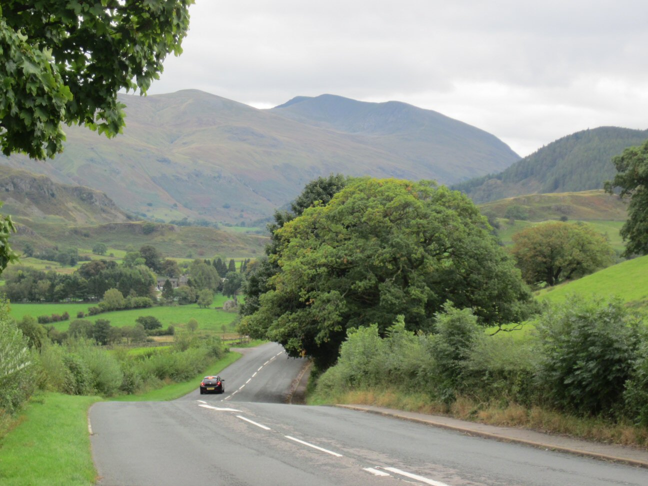
Setting out from Keswick I had about 20 miles of riding along the A591 past the very beautiful Thirlmere Reservoir in the direction of Ambleside and Windermere.
The first test comes over the Pass of Dunmail Raise, a steady climb up to 280m from sea level, followed by a nice descent into William Wordsworths home village of Grasmere, although there seems to be several claims to his home along the road. Riding past Grasmere Lake and Rydal Water, then through Rydal village, Ambleside is reached which of course, was teeming with visitors all wearing the latest in outdoor gear no doubt purchased from one of the several thousand outdoor shops - I exaggerate but not by much!
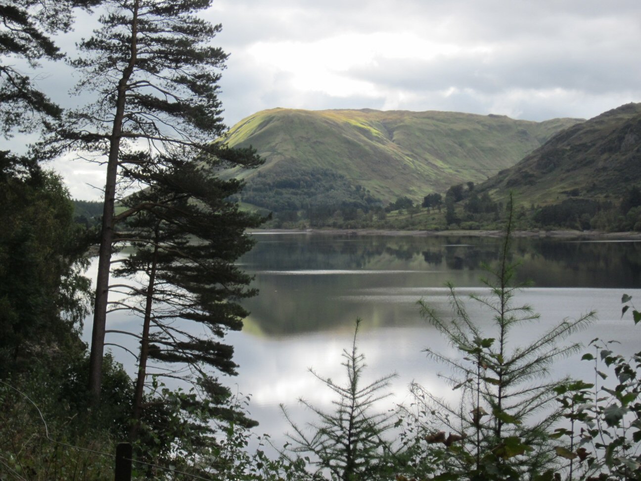
Just out of Ambleside I notice a sign for Kirkstone, but my pre-programmed GPS route tells me to continue on which slavishly I do until reaching the outskirts of Windermere a few miles South along the lake. A sharp left and immediately up with a sign stating that the Kirkstone Pass was 5 miles distant. Here we go.....
The road heads steadily up with the occasional very steep section but nothing that makes me struggle. Either it is seriously over-rated or I am much fitter than I thought. I hope it is the latter. Onwards the road continues uphill with less and less flat until it is continuously uphill, but still I am reasonably comfortable and then I spot the Kirkstone Inn - I have made it! It is at this moment that I look left at a much more fierce road climbing up to join my road. I also notice the road sign; the struggle is to my left. Disaster, I have done the wrong climb. Now I have two choices, I can claim to have ridden the Kirkstone Pass and hope no-one asks follow up questions to which I will have to lie, or, I could ride down the Struggle to the bottom and actually do it. I hesitate, but in my heart I know I have to go down and do it properly. As I begin the descent I immediately question my decision. Why not lie, who will know, who will it hurt? My legs are begging me not to go further, they try their best to tell my hands to grab the brakes and turn the bike around, but down I go, all three miles of it, completed in less than 10 minutes. It can't be that hard...can it?
At the bottom I realise this was the turn that I ignored earlier! Damn these GPS units.
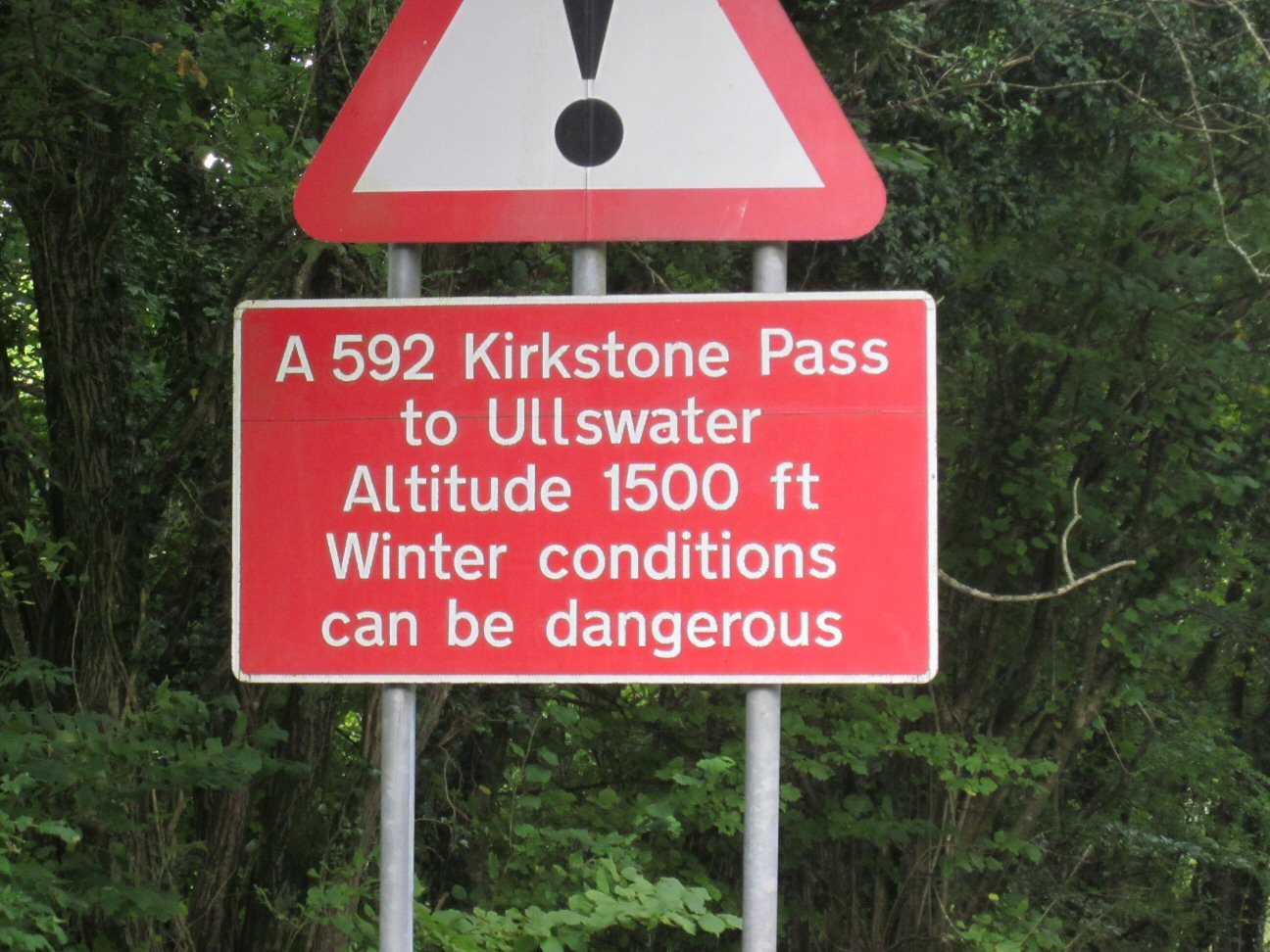
I turn and start up, immediately in the lowest possible gear I ride past the Golden Rule pub and take a sharp left, there is no relenting, up it goes again, my breathing is heavy, my heart at full tilt, my legs promising they will never speak to me again, ever.
After a mile or so, there is an easing of the gradient, but only marginally from 20% to 13%, it still looks pretty steep. Cars pass by me in both directions, one or two shouting encouragement as I plug away, keeping the pedals turning, sometimes standing, sometimes back on the saddle. Two miles covered and suddenly the road flattens, relief, but the end is still not in sight so there is plenty of work left to do. Suddenly I find myself going downhill, but the Kirkstone Inn comes into view high on the hillside, looking very small.
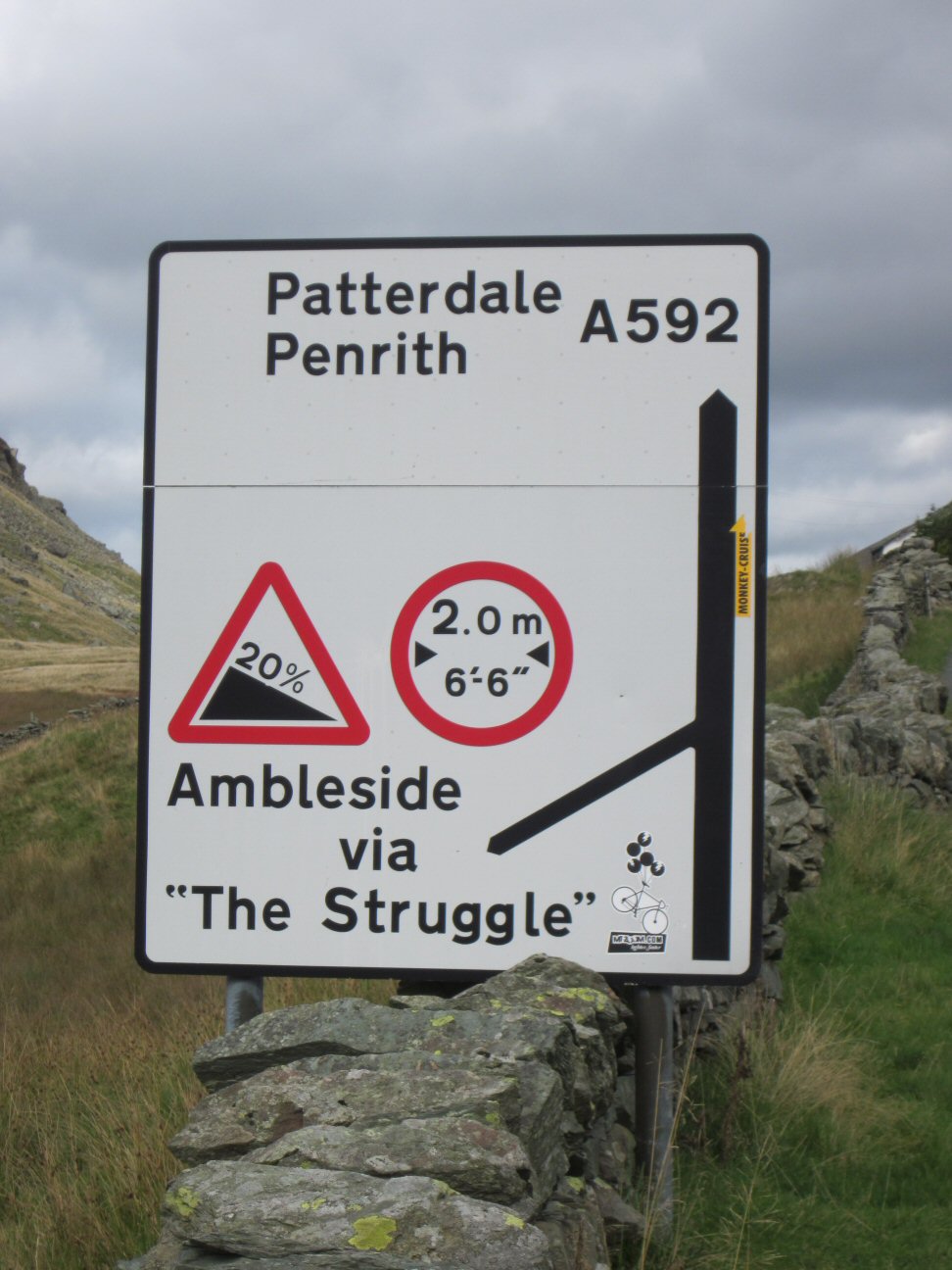
There is a real sting in the tail of this ride with a final 20% section with a nasty hairpin to make life interesting. I pull hard on the handlebars as I make my way slowly up, my entire body is hurting now, everything is telling me to give up and walk the last bit, but somewhere in my stubborn streak there is a voice telling me I will suffer eternal ridicule and derisement from everyone I know if I fail; There he goes, the man who failed on the Struggle, they will say and so I dig as deep as I can and finally crest the climb and straight over to the Inn where I stop to recover. Two ascents of the Kirkstone Pass in the same day, who's laughing now?
I soon recover enough to continue and finish the last part of the climb before the very well earned long descent down to Patterdale where I stop for a break at the local village shop, noticing the 'Coast to Coast' information and souvenirs. Many years ago I did that walk, all 180 miles of it in two weeks - my stubborn 'must achieve' streak has been around for some years!
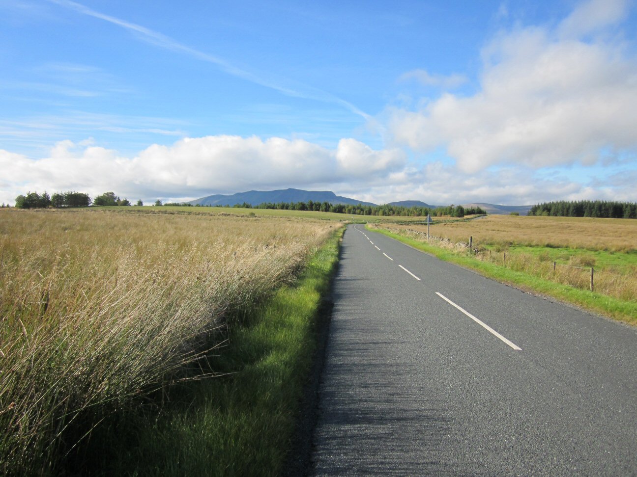
Through Patterdale and Glenridding I follow the A592 until reaching the A5091 turning to Troutbeck through Matterdale End where I have a close encounter with a walker ambling down the middle of the road and as I ride around him, he chooses to change direction and we almost collide. Riding along the road, which, like all self-respecting roads in this part of the world has it's share of uphill until I turn off along a narrow country lane which twists and turns until eventually popping out on the main A66 where I have a 4-5 mile run in to Keswick and the finish.
The total distance was 58 miles and 5,748 feet of ascent according to my GPS.
An excellent ride and one I would repeat, although next time maybe just the one ascent of the Kirkstone Pass.

Page 1
Brecon to Cwmbran Canal Ride
The Brecon and Abergavenny canal runs from, oddly enough, Brecon down to Pontnewynydd near the Pontymoile Junction where it comes to an abrupt end. it is steeped in history as are most canals, dating back to the 1800's where it was used for transporting all sorts of things, as were most canals.
Brecon is higher in altitude than Pontnewynydd but not by an awful lot so going South is more downhill than going North, not that you really notice it so the canal is, for all intents and purposes, flat which is good because there are no big hills and is bad because there are no downhills to rest, so it is pedalling all the way.

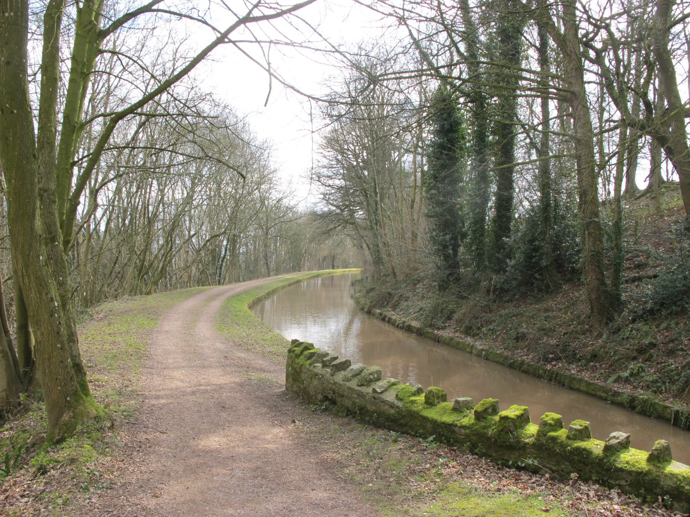
Reports of its' length vary depending on which website you look at. The shortest seems to be 33 miles and the furthest 43 miles. I decided that I would ride for a maximum of four hours and turn regardless. Being a towpath along a canal, high speeds are not really possible, or advisable for several reasons; there are other towpath users, primarily dog walkers who seem to think it is okay to allow Rex to wander as far away as possible on one of those long leads which means that you need to be adept at jumping leads, or wait whilst little Rexy is called to heel, secondly the towpath is very muddy in places and an error in judgement could well result in an early bath, and finally, from one end to the other there are approximately 110 bridges which have to be negotiated. Some can be ridden round, others require acrobatics on the bike to avoid the 'helmet vs brick' test. In case you were wondering, the helmet almost never wins.
Having already done a section from Abergavenny to Talybont and back and thoroughly enjoyed it I decide that the full length had to be done and so it was that I picked, though not deliberately, the wettest day in January 2014 to set off for Brecon.
I arrived in Brecon at about 7:45am to park in the ideally suited car park exactly opposite the canal itself. 2014 prices were £1 for all day! Bargain.
By 8:00am I was away. This was perfect at this time of year I figured; four hours out, four back with about 15-20 minutes lunch/turnaround and photo/food stops would get me back to Brecon for no later than 4:30-4:45.
So it was that I headed off. Navigation is, of course, not required, simply follow the canal. There are no forks in the canal or route choices so it is easy. The only downside is that one never knows exactly where one is as there are no mile markers and no signposts. Given that I had a 10 mile margin of error (each way) this made it slightly frustrating, especially once I had passed Talybont, which has the convenient 'White Hart Inn' right by the canalside and Abergavenny which is notable for the several road crossings required. It did occur to me that I could reach my four hour target and turn around with just half a mile to go and I would never know. How frustrating would that be?

Before even arriving at Talybont, disaster struck! I had dismounted to get my bike through a small gate - why they have gates on canal towpaths I have no idea - and jumped back on to ride on whereupon I discovered that the gear cassette was spinning free from the wheel! I stopped, well I had to really, and attempted to fix the problem using my usual technique of shouting and kicking. Realising this would not help and recalling some months ago a cycling colleague having a similar problem and having to walk home, resigned myself to a similar fate - oh well, it was only four miles back. I set off, disappointed with the turn of events, half pushing, half scootering when I heard an odd scraping noise. Stopping I decided to check the cassette and lo, it was working again! Now then, a four mile walk is mildly annoying but if I carry on the ride and find myself 30 miles from the car, how am I going to get back? Well, me being me decided to throw caution to the wind so turned again and headed off back on the original route.
As I rode on I tried to imagine what could have caused the problem and listened carefully as I rode for signs or sounds of impending doom. So that you, dear reader, don't suffer the same stress as I suffered every mile I rode, I can confirm that the problem did not recur!
Further South there are no distinct landmarks, villages or places of note but there is tranquility, excellent views and quite often solitude as there are few people around.
Eventually after many miles and much rain I began to notice houses appearing and people walking dogs, and even a few fishermen - civilisation. I also noticed that the canal started dropping quite dramatically down a series of locks and suddenly the locks were replaced by concrete structures, clearly not navicable by boat - was this the end? I continued a short way down to find the canal, which by now was more a stream than a canal come to a dead stop in a small pond. The end! For such an impressive canal with such a history it seemed a bit feeble to finish in a pond! Clearly the barges would have stopped earlier than this at the locks further up.
I had ridden 36 miles from Brecon so, by my reckoning, it would be 36 miles back, giving a round trip of 72 miles. It had taken just over 3 1/2 hours so I had plenty of time. Lunch! Now for some reason, I am never really that hungry when I am doing something like this, but decided I must eat, so managed a couple of sandwiches and a Mars Bar before deciding to pack up and head back. It was raining, I was getting cold and it was 36 miles to go.
Initially of course, it was uphill until the top of the locks arrived and the canal flattened out. This part of the towpath is in excellent condition, being a combination of tarmac and hard packed stone so progress is quick.

Once the civilisation has been left behind, the quality of path deteriorates but only in a small number of places is it very bad. About 10 miles into the return journey I noticed the bike becoming unstable and looking down, noticed the rear tyre somewhat softer than when I started - puncture! I rode on for a while but it became much worse and harder to ride, so I decided I would need to stop and effect repairs. As it was still raining I rode to the nearest bridge and used it as a shelter.
I quickly stripped the inner tube and began to search for the hole - not a chance! Eventually in frustration I dipped the tube in the canal and finally located the tiny hole. Now the fun began; despite drying the tube well I could not make a patch stick. Eventually I gave up and used my spare, not of course, before thoroughly checking the tyre for an offending thorn which I failed to find. Tyre on and pumped up I set off again, finding the going easier and more stable.

After a further 10 miles I noticed the same problem - oh no, another puncture! What could I do, there was no point trying to effect repairs and I didn't have another spare. I stopped and pumped the tyre again which held the pressure for a couple of miles. By my reckoning there was only about three miles or so to the finish so I could cope with stopping a couple more times to pump the tyre.
Finally after two further stops I rode into Brecon and the finish. I had done it! The rain, which had more or less continuous seemed to get heavier but I was beyond caring as I was now back at the car and finished.
It is an excellent ride with great views. I would not really recommend it during the winter time as it begs to be ridden slowly with plenty of photo stops and even done over two days which would give plenty of time to enjoy the surroundings.
Total Mileage: 74 miles

Page 1
2014 Time Trials

| Date | Distance | Course | Time | Standard | Percentage |
|---|---|---|---|---|---|
| 04/04/14 | 5.5 | Hanley Swan | 15:18 | N/A | 17.5 |
| 11/04/14 | 5.5 | Hanley Swan | 14:50 | N/A | 15.4 |
| 17/04/14 | 10 | Chance Lane | 27:59 | Silver | 11.0 |
| 01/05/14 | 16 | Castlemorton | 44:43 | N/A | 17.8 |
| 08/05/14 | 10 | Kinnersley | 28:27 | Silver | 16.75 |
| 15/05/14 | 10 | Chance Lane | 26:47 | Gold | 14.5 |
| 22/05/14 | 12 | Welland (Hilly) | 41:45 | N/A | 15.8 |
| 29/05/14 | 10 | Severn Stoke | 26:12 | Gold | 11.0 |
| 05/06/14 | 10 | Leigh Sinton | 27:00 | Gold | 15.1 |
| 19/06/14 | 25 | Welland | 70:37 | Silver | 12.1 |
| 26/06/14 | 10 | Chance Lane | 27:18 | Silver | 16.1 |
| 03/07/14 | 25 | The Rhydd | 70:14 | Silver | 15.3 |
| 10/07/14 | 12 | Welland | 40:50 | N/A | 15.6 |
| 15/07/14 | 10 | Bishops Cleeve | 25:59 | Gold | 4.0 |
| 17/07/14 | 10 | Kinnersley | 27:09 | Silver | 13.9 |
| 24/07/14 | 10 | Severn Stoke | 26:28 | Gold | 14.8 |
| 31/07/14 | 16 | Castlemorton | 43:04 | N/A | 17.7 |
| 07/08/14 | 10 | Chance Lane | 26:29 | Gold | 15.7 |
| 14/08/14 | 10 | Leigh Sinton | 26:45 | Gold | 10.0 |
| 21/08/14 | 10 | Severn Stoke | 26:45 | Gold | 15.8 |
| 28/08/14 | 10 | Chance Lane | 27:28 | Silver | 20.9 |
| 04/09/14 | 5.5 | Hanley Swan | 14:23 | N/A | 17.9 |
| 11/09/14 | 5.5 | Hanley Swan | 14:15 | N/A | 16.5 |
| 18/09/14 | 1000m | Longdon | 01:39:01 | N/A | 15.1 |
The 'Percentage' is: ( (Time - Av (first 3) ) / Time ) * 100 (lower is better)

Page 1
2014 Sportive Rides
| 27/04/14 | |
| Knutsford Sportive | |
| Organised by | Evans Cycles |
| Distance | 82 miles |
| Time | 04:40:20 |
| A pleasant ride in the Cheshire countryside, mostly flat with one optional hill known as Swiss Hill which was a cobblestone hill of about 1/2 mile and about 10% gradient. Early riders benefitted from reasonably dry cobbles but later riders might have experienced a slippier surface. The most notable part of the route was when it passed Jodrell Bank; the huge space telescope. Part of the Long course passed the refreshment stop twice which was good planning from a logistics point of view but given the amount of countryside seemed a shame from a riding point of view. Overall it was a nice ride, but a shame that it passed through Altrincham which was a little traffic busy for my liking. |
| Would I do it again? Probably not, there was not enough variety of landscape and hills and too much deja vue (even on sections that had not been visited twice). |
| Was the organisation good? Well, yes, Evans clearly knows how to stage a Sportive with plenty of parking, a free goodie box and for those of us entering early enough, an extra free goodie box worth £10 apparently which made the £17 entry fee seem even more reasonable. |
| 18/05/14 | |
| BHF Cheltenham Sportive | |
| Organised by | British Heart Foundation |
| Distance | 40 miles |
| Time | 02:12:30 |
| Apart from a modified start and finish, the course followed the same route as the 2013 course, for which there is a report elsewhere. The start/finish exited the racecourse into the town which was okay and fairly well marshalled. |
| Out into the countryside I found myself overtaking rider after rider as my start time was about 9:00am rather than 8:00am as it was last year. This was okay for the most part and it gave me an incentive to ride harder. It had a downside in that, particularly on the hills on the narrow lanes, finding a track through was sometimes problematic, especially as the majority of the riders had no concept of faster riders coming from behind and thought nothing of moving out without warning! |
| I found myself doing bit and bit with a female rider which worked well for a while but she would insist on coming through fast causing me to speed up to catch again - maybe she was resting, then trying to drop me? She certainly wasn't playing the game that's for sure! Eventually coming up to the top of the Stanway hill descent I moved ahead as she seemed to be struggling and as I flew down the steep descent, overtaking slower riders, she disappeared off the back, never to be seen again. |
| Exiting Winchcombe bought us onto my regular training route and I continued to overtake other riders as we rode through Gotherington, Bishops Cleeve and Prestbury back into the racecourse again. I clocked the route at 38 miles, taking two hours and twelve minutes to complete. |
| A nice ride in nice countryside with great weather, raising money for an excellent cause, what better way to spend a Sunday morning? |
| 15/06/14 | |
| Cotswold Sportive | |
| Organised by | Evans Cycles |
| Distance | 60 miles |
| Time | 03:03:00 |
| Didmarton was the venue for this sportive, a pleasant little village south of Tetbury in the Cotswolds. |
| I had originally intended to ride the Long Course but due to other committments changed to the Medium. This presents no problems for the organisers - you simply tell them at the end which course you did and they adjust accordingly. |
| I set off with a small group of riders but was soon clear of all but two, who raced off the front at a healthy pace. That would be the last I saw of them I thought, but as we approached the first turn, I noticed they took the wrong turning - oh dear, it could be a long day for them! |
| One thing that is extremely impressive about Evans Sportives is the direction signage so getting lost is no easy task! |
| Anyway, this gave me the chance to catch them and we rode together for a while. My plan was to ride behind them as long as I could and then let them go. Well, the miles went on and after about 3-4 miles I realised that I could keep the pace up so decided to help by taking my turn on the front. We all did our share, although one of them who clearly was inexperienced at chain gangs did insist on riding to the front with all the speed of a breakaway, requiring us to give chase to close the gap. I discovered later that this was his first Sportive and first group ride so I forgive him. |
| The miles tumbled along quiet undulating country lanes. There were no big hills and nothing really to slow us down for any length of time and we found ourselves averaging 20mph. |
| The route swung around the North of Tetbury, through the Neigh Bridge Country Park and into Upper Mintety before heading West again to the feed station South East of Tetbury after 34 miles of riding for drinks, gel bars and jelly babies. |
| Ten minutes later and we were off again to complete the remaining 26 miles, which tumbled at 3 minutes per mile down almost as far as the M4 before swinging West again and then North passing Badminton Park. |
| With about 10 miles to go, one of our group began to fade so we slowed but he urged us to continue on and not wait. Up went the pace again and we raced through small villages, past rider after rider, doing bit-and-bit until we came into the final five miles where the pace began to tell on both of us - we tried to swap the lead but the legs just wouldn't turn any quicker. The final couple of miles retraced the exit route at the start so our spirit lifted and we powered on to the finish, crossing the line a little over 3 hours which included the stop. |
| It was a good route, a nice ride and thankfully the weather held. I did hear that 480 riders entered which is a good number by any standards. Roll on the Peak District in August. |
| 13/07/14 | |
| Kington Sportive | |
| Organised by | Kington Lions |
| Distance | 69 miles |
| Time | 04:20:00 |
| The 2014 route was different and slightly shorter than 2013, weighing in at 69 miles although the last 10 miles was way harder! It was an anti-clockwise course passing through Presteigne, Knighton and Dutlas skirting the Welsh Border before swinging around South to stop at Abbey Cwm Hir for lunch before heading down to Crossgates and Hundred House then turning East into England again past Hergest and back to Kington. |
| The organisation was every bit as good, with excellent direction markers and a good, well stocked lunch stop - it was a shame that we had another 30 miles to ride! |
| Some of the route definitely overlapped last year and some looked familiar as we wound our way in and out of Wales and Shropshire, with some stiff climbs, some of them quite long, the hardest coming at 60 miles which was a little cruel I thought and I was well pleased to crest the summit! |
| The route mainly stuck to lanes which was, on the whole a good idea, although many of them were either in a bad state of disrepair or newly redressed which meant there was a lot of gravel and stones to deal with - I was amazed I didn't get a puncture. |
| For some reason, the Sportive doesn't seem to attract a big field which is a shame because it is all for charity and the organisers do a really good job, even having free massages at the end - something I took advantage of and thoroughly enjoyed, feeling much better afterwards. That combined with a bacon sandwich and a coffee hit the spot! |
| As I said last year, I will definitely be back again next year. |
| 03/08/14 | |
| Peak District Sportive | |
| Organised by | Evans Cycles |
| Distance | 80 miles |
| Time | 05:59:40 |
| New Mills was the HQ for this Sportive. I decided to make a long weekend of it and stayed at Castleton Youth Hostel which was only about 30 minutes away. |
| Having signed on in the usual way and collected my goodie box I joined group waiting to leave. We had the briefing about signage and a warning about the long course. I was still in two minds about which to do. I had signed on for the medium but figured I had all day and didn't have to be back at anytime. One of the good things about Evans Sportives is that you can decide on the line or even later when the courses split. |
| Today the long course split early and I found myself taking that route. |
| Before rejoining the medium route there is a 25 mile loop around the amazingly named Pot Shrigley and Rainow. From then on the routes are the same so you find yourself riding with much fresher riders and it shows! |
| Heading south for a while it eventually turns North to Peak Forest and slowly but surely up to Mam Tor where there was a welcome drinks station. I took full advantage stocking up with water and food before tackling the final climb over the ridge. It could have been worse; we could have come up from Edale but there had already been some stiff climbs so I for one was relieved it didn't. The downhill was awesome and very fast but we were soon on the flat of the Edale valley. |
| From Edale the route goes via Hope and out to the Ladybower reservoir and then the Snake Pass which was probably the hardest section of the entire route. It goes up constantly for miles which is hard enough, but it was windy too and of course into our faces - so hard in fact that on the descent we had to keep pedalling otherwise we slowed down! |
| Eventually the route turned off at Glossop and up again to Hayfield and a final meander back to New Mills and the welcome finish. |
| Without a doubt the hardest Sportive I have done this year, but also one of the best from the point of view of scenery and satisfaction. |
| 21/09/14 | |
| South Wales Sportive | |
| Organised by | Evans Cycles |
| Distance | 80 miles |
| Time | 05:40:40 |
| Being an avid walker I knew this part of the world quite well, having summited all of the peaks in the region at one time or another, thanks to a Christmas present many years ago which listed all of the peaks in all regions of England and Wales. I fully expected some climbing, some excellent views and some rewarding downhill, but I have to say, the climbing came as a big shock! |
| The start/finish location was at Bryn Bach Country park near Merthyr Tydfil, a pleasant area with plenty of parking to be had. |
| Due to an afternoon engagement I was keen to get off early and so queued with the other early starters to, firstly, get my 'timing chip' and Goodie Box and then into the start pen waiting for the first wave to leave. |
| Soon enough we were off, winding our way out of the residential area and into the countryside, climbing ever upwards until we crested the summit and enjoyed a long easy downhill ride towards Crickhowell where I recognised the road from a ride I had done in the opposite direction a couple of years previously so was pleased to be coming down rather than going up! Over the bridge and into Crickhowell we made our way out via a fiendish route of small lanes and twists and turns all combining to totally confuse us! |
| Soon enough we were on quiet lanes again enjoying the peace and quiet heading towards Llanthony Priory, the starting point for many a long walk in this region. It was here that disaster struck! A signpost directed us left up the steepest hill I have ever climbed and I struggled up it only to be rewarded by a little flat and then an even steeper road that I have to confess, caused me to dismount and walk - not something that happens often! |
| Finally it eased a bit and I jumped back on the bike, not wanting to suffer the shame of having another rider come past! I continued up to the flat section and rode on, but then was met by several riders coming in the opposite direction. 'Wrong Way' they shouted! As we headed back down the steep sections it was comforting, in a way, to see most riders walking up, and the disappointment of being told they too had gone wrong. |
| We soon relocated and spotted the offending arrow and realised someone was having a joke at our expense - most amusing! |
| From here it was an easy few miles to the Priory and beyond to the Gospel Pass where the first drinks station was located. Previous experience had taught me to stock up on liquid, take some jelly beans and maybe a gel or energy bar and take a few minutes break rather than trying to be a tough guy and pushing on. |
| Back on the bike I was presented with the long, but not too stupid climb of the Pass up to the foot of Hay Bluff and around its base before winding left and down the long sweeping road to the valley below. |
| The route wound through lanes and easy roads before opening up to a major road through Talgarth and then back into the lanes to Talybont on Usk and the second drinks station where I restocked my water and food supplies before heading out along the the Talybont Reservoir. I looked to the left and recalled the last time I was on that particular mountain, bagging the final peak in the collection; a long and remote walk with a dull summit - not done for view or route, but simply to tick a box in the book! This time I was on a nice steady road taking it easy preparing for the big climb of the day. As we approached it, I heard another cyclist saying that if we were where he thought we were, we had a big climb approaching - well, we were and we did! 20% average gradient seeming to go on forever. The pre-ride blurb had said that it was all over by the cattle grid, which I have to say is a nonsense! It goes on and on after that, including an almost hairpin bend that is best taken wide to avoid an even steeper section. I was determined to ride this bit, but passed several walking cyclists and a couple who had stopped for a breather. |
| Finally it eased off and we were rewarded with a long, fast descent down a good road to the bottom and out before crossing the bridge at the end of the Neuadd Reservoir and beginning the descent into civilisation again. My GPS had shut down some miles before, claiming a flat battery so I had no idea how many miles were left, but knew we must be close as we had now crossed the main A4060 which ran past the Park. Evans knew better of course and took us out into the countryside again before swinging round and throwing one final climb at us before announcing '1 mile' to go. It seemed like a very long mile but finally we swung into the park and down to the finish area. |
| It had been a great ride, very hard and very tiring, but of course, rewarding if only for the knowledge that an 80 mile ride could be achieved in these parts in a reasonable time. The weather had been pretty much perfect which always helps. |
| Next Year? Who knows! |

Page 1
Winnats Pass - Derbyshire
Winnats (pronounced Win Yats) Pass lies just outside Castleton in Derbyshire and is considered as one of the more challenging climbs in the country. It has an average gradient of 14% according to Strava who also list the fastest ascent of the kilometre climb at just 4:18!
My plan was to climb it, followed by a 30 mile or so loop around to the West and back to Castleton again. It was my second attempt at the climb, the first was abandoned early last year due to snow on the road! Mind you, at that time, I got about half way up before having to walk and upon reaching the top, spent time helping to dig cars out of the snow. This time, it was August and the sun was shining!
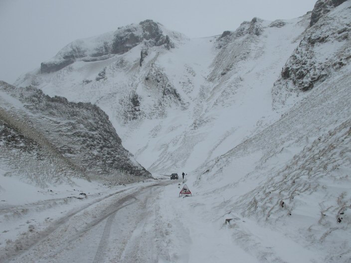
As with a lot of climbs, it seems to get steeper the further up you go. I am never sure whether this is really the case, or it is just fatigue setting in but either way I made good progress initially and felt quite good but as the road swung to the right and steepened I began to slow, although there was never a time when I thought I would not succeed and sure enough, as the gate came into view and the inclination eased I began to speed up and cruised through the finish, breathing hard but not over tired. My time was about 8 or 9 minutes but then I wasn't racing it and I still had 29 miles to go!
From there, the downhill reward was nice and I followed good roads to Peak Forest and beyond to Millers Dale where I spotted a cafe, well, a small van masquerading as a cafe. Either way they sold coffee and muffins so good enough for me! The weather had turned a little now and the rain, whilst not hard was enough to require waterproofs. As I sat drinking my coffee I realised that I was in fact at Millers Dale Railway Station which, in the old days, was a very important station bringing people and supplies to and from this part of the world. The station itself is still there but the tracks have long since gone, being replaced by the Monsal Trail which is enjoyed by cyclists and walkers alike.
Soon enough I was away, dropping into Millers Dale itself reminding myself that the last time I was here, I was walking the Limestone Way with my faithful dog Josh.
From there, I took the road through Tideswell (the Cathedral of the Peaks) and onto the main A623 which took me through Stoney Middleton. The road is fine, but a little busy for my liking so a future modification to the route would be to avoid this section.
I turned left at Calver and headed up to Hathersage, gateway to Stanage Edge for climbing and reputed to have the grave of Robin Hoods best mate; Little John.
Through the town and out on the A6187 eventually bought me through Hope and back into Castleton and the finish.
A total of 31.5 miles with 2,671 feet of climbing taking just over two hours including the coffee break. An enjoyable ride but one that could benefit from some modification to avoid the busiest of the main roads.

Page 1
Holme Moss - Lancashire
Holme Moss is an iconic climb with an altitude of 524m, featuring as it does in almost every major 'Tour' in the UK, including of course in this years' Tour de France as it passed through Yorkshire.


Holmfirth is the traditional starting point for the climb and so it was that I found myself driving into the one horse town that is Holmfirth searching for parking. It was easy enough and I was pleasantly surprised to discover that three hours could be had for the princely sum of £1! plenty of time for the route I had in mind which I figured even including the climb I could do in two hours.
Heading out of the town, the road soon starts to go up, gently and undulating at first and ahead are glimpses of the road much higher and looking very small. Where the road looks smaller, the Holme Moss transmitter tower looms ever larger pointing as it does to the summit of the climb.
As I left the town and headed for open countryside about two miles from the start the real climbing began and the road took on a much steeper inclination. If to emphasise the fact that the real climbing had begun, road graffiti began to appear extolling the virtues of Froome, Cancellara, Roche and other Tour greats. Also, a council added sign in the road proclaimed 1 1/4 miles, which I assumed was the distance to the summit rather than the distance travelled from some notional starting point. Climbing further I passed the 3/4 mile point which confirmed my theory.
It is not the hardest climbing I have ever done being 11% at the summit and an average of just over 5%, but it is long and sustained, being a full 4 1/2 miles from my starting point and pretty much uphill the entire time.


As I began to approach the final segment, the wind began to blow a little harder, indicating maybe that the summit was in sight, and sure enough, the final bend and the summit eased considerably. I spotted the '100 yards' sign in the road and imagined Peter Sagan and others battling it out for the King of the Mountain points.
Over the summit, jersey zip pulled up I began the long, fast descent down to the Woodhead reservoir and the main Barnsley - Manchester road at the bottom. It did occur to me that this side would be every bit as tough as the side I had ascended and maybe next time I would do the ride in reverse.
My route took me down into Longendale and Hollingworth along a very busy road but eventually I turned off in the direction of Stalybridge which was quieter but still busy. Through there and on out to Hayrod and Mossley when it occurred to me that the majority of the ride since the summit of Holme Moss had been downhill! OK, there had been some up but not enough to compensate for the down - I had a bad feeling about this - I was going to pay at some point!
Then it arrived! A very long, but steady climb along the A635 towards the ridge. Again it wasn't steep, but was long, made even more so by the distant tiny cars at the summit which came into view quite quickly but took considerably longer to reach. As I rode steadily up I was aware of dark clouds forming to the left and the right, but a shiny corridor in my direction - impossible!
Onward an upward and the familiar picking up of the headwind signalled the approaching summit. I pushed on, not wanting to get caught in the rain, but hearing thunder in the distance. Eventually the summit arrived at the road flattened. I reckoned I had about five miles to go and set about reducing the time as much as possible. It is a long steady descent, never steep but enough to be able to cruise along at 25mph+.
Finally the road steepens down as it enters Holmfirth, my GPS seeming to get confused as it showed the route doing a hairpin to the right but clearly the town was left. I realised that I had come back on to the outbound route so took a left turn and into the town and the 1/4 mile or so back to the car park.
It was an excellent ride, slightly let down by the amount of traffic in Longendale and the Mottram Road, but there seemed to be no alternatives for this loop. Maybe a weekend early morning might be quieter, or at least, fewer lorries thundering along.
Total Distance: 29 miles
Total Climb: 2772 feet
Total Time: 01:47

Page 1
Tour of Almeria - Southern Spain
Thursday
It was a very early start Thursday morning. I left home at 2am picking up the guys on the way. We had planned ahead and all of the bikes were already stowed in the car. All we needed was personal stuff.
Our planned arrival time at Gatwick worked perfectly and by 5:30am we were on the way to check in. By 5:45am it was all done and breakfast was ordered at Weatherspoones.


The flight is about 2 1/4 hours so time for a coffee, book read and relax before the plane touched down.
Our bikes were already out by the time we had got through customs so we wheeled them out into the sunshine to assemble and check.
Soon we were on the way to Andalucia which would be our base for the weekend.
The ride was pleasant along the coast although I noticed my back wheel felt bit odd and decided to sort it when we got to the apartment. We soon came into the town and up what would become a familiar climb to the apartment. Ian had already purchased lunch so we relaxed, sorted our rooms and gear before heading out to the traditional first day destination of Gary's Bar. Ian had a spare tyre so I quickly swapped mine in the hope that it would cure the problem, which it did, somehow my old tyre had a flat section - strange it had been okay a couple of days earlier - maybe it had been damaged on the flight? I had noticed that the rear fork tensioner was broken when I took the bike out so perhaps it had been bashed?
The route involved a ride out of the town heading west following the coast until we broke off and headed in the direction of the hills which of course involved climbing. The deal was that we would go at our own pace and regroup at the top which worked well as it allowed plenty of time for photos and breathers if required.

Having regrouped our route took us further up and eventually into the village of Enix and the bar. It was a nice location and the owner; Gary, remembered us, well he remembered cyclists from the UK anyway! We had a couple of beers or three before making the painful decision to begin the descent which involved a little climbing - no easy feat after 3 pints! Soon enough we were on the major descent which ran more or less right back to the town and an easy finish to the apartment, although the final climb tested the legs a little.
Day done, we had a couple of beers before heading out to the big supermarket which had a Decathlon next door! Well I needed a new back tyre and Jules wanted a saddlebags so we headed in. I managed to come out with an extra jacket I didn't know I needed but felt good because I could have spent days in there!
Shopping done and back to the flat to change the tyre and head out for dinner. After a shaky start we found ourselves in the Marina dining at Tokays which turned out to be very pleasant and all in for 30 Euros a head.
15 + 25 miles and 3,300 feet of climbing

Page 2
Tour of Almeria - Southern Spain
Friday


Today we headed out to Barja via the Rio Chico which had the most stunning scenery causing many photo stops as it wound its way along towards the town. We had a long ride to get there though, passing mile after mile of vegetable growing factories along poor roads before emerging to the town of Bella Negra where we stopped for a coffee and managed to persuade the bar keeper to do us cheese and ham toasties! Coffee and toasties all in for 10 Euros for five of us!

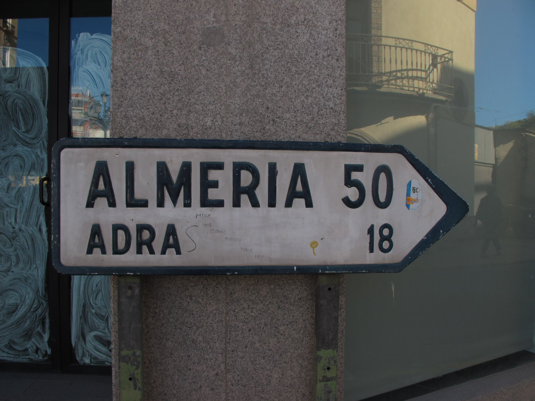
From there we soon found ourselves heading out and into Rio Chico which wound out and up, although never steeply to Barja. The town itself was also pleasant and we stopped for coffee and croissants plus a few photos before heading off for the out and back climb of the local peak and the views afforded from the summit which were just fantastic including the highest peak on mainland Spain; Mulhacén at 3,478 metres (11,411 ft).
Photos taken we dropped back down and took the Rio Grande back out to the coast again. Rich and I had got ahead of the others and it was whilst we stopped that I noticed my saddle was broken! It had felt strange for some time but I had thought nothing of it. Another trip to Decathlon?
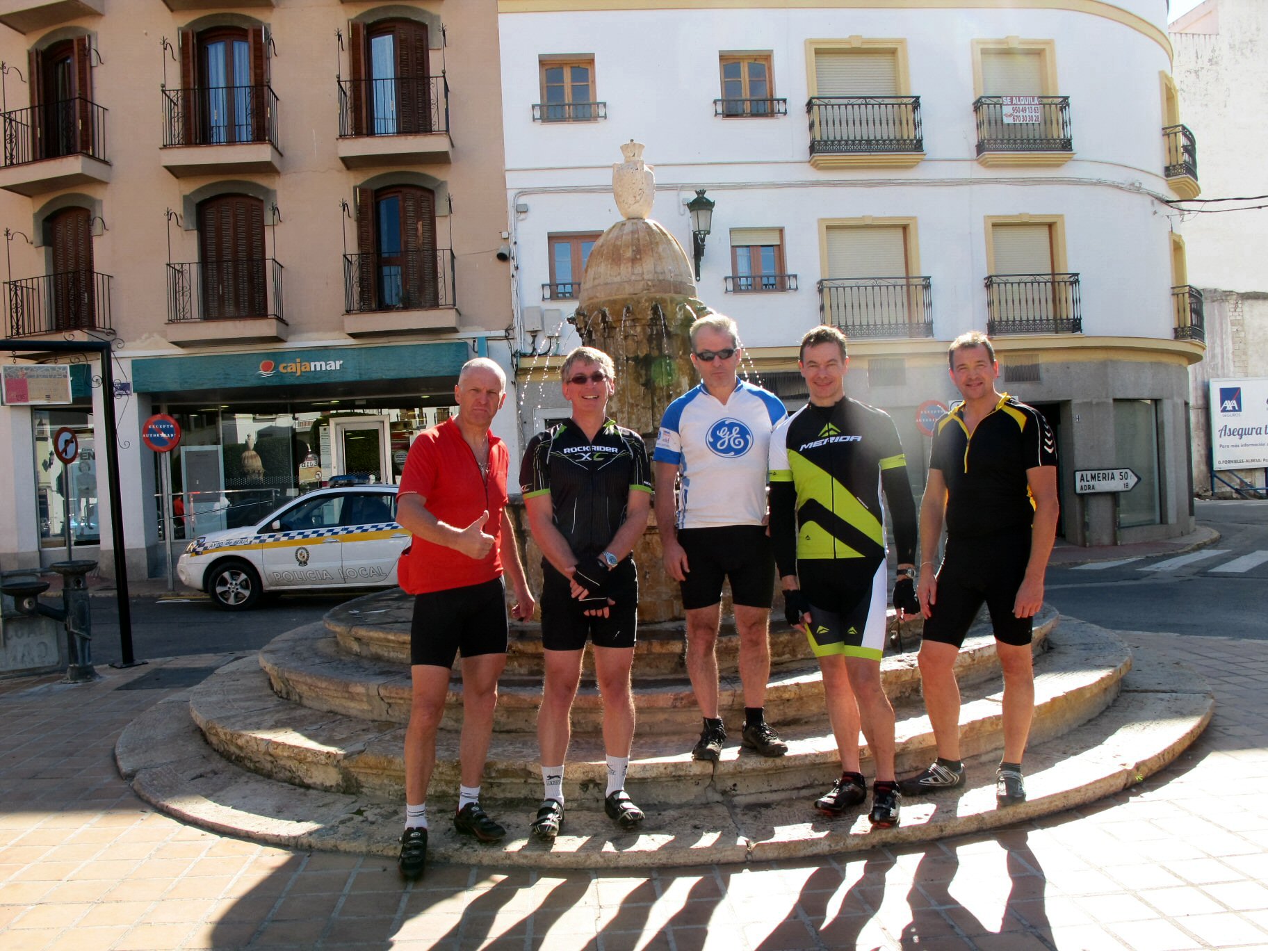
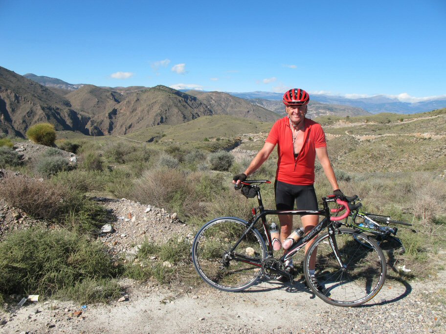
Once regrouped we headed back via the familiar coast road and back to the town. For several miles it is nicely downhill and so we played at break aways until the end where I overshot the turn so blew it!
Tonight we dined in.
81 miles and 4,669 feet of climbing

Page 3
Tour of Almeria - Southern Spain
Saturday
Today was the big day out; Velafique. I started really badly feeling awful and unable to keep up. I seriously doubted I could make the ride and with just 4-5 miles done my legs felt very heavy and my heart rate was banging, I almost turned around. As luck would have it we stopped at a cross roads and I decided to check the brakes only to discover that the back brake was sticking badly - was this the cause? Sorting myself out we pressed on and though it felt easier to pedal, some damage had been done to my energy reserves and I knew I was in for a tough day. We rode on for a few hours before stopping at the Spaghetti Western studios where the old Clint Eastwood Westerns had been filmed! Further up the road was the set of the Western town which looked right at home in the mountains and we fondly imagined Old Clint riding across the plain with the music playing.


Shortly afterwards we came to Tabernas where we stopped for coffee and toasties so enjoyed yesterday. We also took the opportunity of restocking our water supplies before the big climb. About 10km on we stopped at the base of the climb which showed in detail what we had to look forward to! 13km of uphill climbing with 1000m of altitude gained. The steepest section was the start with 11% in places. Same rules as before; regroup at the top! Rich elected to go last as he was fastest and it meant he would spend less time waiting at the top in the cold. Ian set off first followed by Nige, Jules and then me, although the way I felt still I should have gone ahead. I passed Jules and Nige but Ian rode away from me not surprisingly and that was the last I saw of him. I struggled badly on the early section and all but abandoned it. I had to stop several times but as the gradient eased to 7% I felt a little better, but not much. At about the 26km point Jules caught me again and went through. We could see Ian way above, sat on a rock which gave us some incentive to push on as that must surely be the finish - actually it was another 400m at a much easier gradient. My legs were shaking from the effort and I couldn't decide whether sitting down would be a good idea or a really bad idea so decided to stand. Shortly after I arrived Nige appeared and after some hasty photos we donned warm jackets and headed down.
It is a massive descent and hard to believe in places that we had ridden up. What took well over an hour to do took just minutes to descend and I found myself on the run out looking back for the others who were nowhere to be seen! I waited a few minutes; surely they would be here by now? Could I have taken the wrong turn? I had seen no turning but as my GPS had died on the ascent I couldn't check so turned around and started back. It was then that they came flying past! I turned to give chase as best I could but in my poor state would never catch them. Thankfully Rich realized and waited to pace me back on.


We insisted on a return to Tabernas to refuel - most were low or out of water and we needed feeding. I disappeared into the supermarket and returned with water, crisps and donuts! Perfect.
Fortified we set off on the mostly downhill ride to Almeria. I was hanging on but suffering badly, not really able to do a turn at the front. As we approached the town my legs went completely and the guys pulled away until it was noticed and a halt was called.
The last 7-8 miles were really tough and I have no idea how I managed but eventually we came into the town and up the last big hill.
In the flat we all sat around stunned at the days efforts until beer magically appeared.
Showers and beer did something to bring us back to reality but the walk into town for dinner was a very tiring experience but worthwhile as we found a very friendly Tapas bar that served full pints and plenty of food.
92 miles and 6,200 feet of climbing

Page 4
Tour of Almeria - Southern Spain
Sunday

It was a slow start to the day. Rich elected a solo ride and no one argued but he was quickly back with a puncture! Soon repaired he was off again and later Ian suggested a ride. I decided my legs needed a day off so declined the ride, preferring to laze around the flat and a short stroll to the Marina to take some photos.
Later on I got a text message suggesting a meet but I was enjoying my rest day so declined.
Tonight I cooked dinner which was the first time I had cooked for five people but everyone said they enjoyed it and there was nothing left so I was pleased with that.

Page 5
Tour of Almeria - Southern Spain
Monday
Final day and I was keen for a ride to see how my legs felt. Rich was up for it but no one else wanted to ride so we went for the Gorilla Hut so named because Martin Cain stripped off there and looked like hairy Gorilla! Anyway the ride followed a familiar format of a few miles of flat then an hour or more of steady uphill. We took the route towards Gary's Bar but continued up at the turn for Enix. Another 4km of steady but not steep uphill bought us to a brown disused building at the brow of the hill. Due to some sneaky tactics I managed to pip Rich on the line but I was pretty sure he hadn't been trying that hard on the climb. It had taken about 1:35:00 to the summit but we confidently expected about 30 minutes down! This proved to be the case and we were soon flying along the main road back towards the apartment.

Another sneaky track stand and short cut gave me victory to the flat so I felt I could claim the day as my own!
Lunch and flat tidying followed but soon enough we had to say goodbye to the apartment and head off for the 12 miles or so to the airport which was dispatched without incident and we even arrived before Ian in support car.
Bikes packed, checked in and eventually on the plane for home.
It had been a great tour with many miles ridden, many metres climbed, many beers consumed and great company. For me I have to go shopping for a new saddle and seriously consider replacing the GPS which seems to flatten batteries rather too quickly for my liking - oh well, more toys!
31 + 14 miles and 4,200 feet of climbing

Page 1
2015 Time Trials

| Date | Distance | Course | Time | Standard | Percentage |
|---|---|---|---|---|---|
| 02/04/15 | 5.5 | Hanley Swan | 15:34 | N/A | 18.7 |
| 09/04/15 | 5.5 | Hanley Swan | 14:38 | N/A | 17.4 |
| 07/05/15 | 10 | Kinnersley | 28:48 | Silver | 19.5 |
| 14/05/15 | 10 | Chance Lane | 29:35 | Bronze | 15.4 |
| 21/05/15 | 12 | Welland Hilly | 43:49 | N/A | 44.9 |
| 28/05/15 | 10 | Severn Stoke | 27:48 | Silver | 19.2 |
| 04/06/15 | 10 | Chance Lane | 27:42 | Silver | 17.0 |
| 18/06/15 | 25 | Rhydd | 70:45 | Silver | 16.8 |
| 25/06/15 | 10 | Chance Lane | 26:55 | Gold | 12.5 |
| 16/07/15 | 10 | Kinnersley | 27:31 | Silver | 16.6 |
| 23/07/15 | 10 | Severn Stoke | 27:11 | Silver | 16.4 |
| 30/07/15 | 10 | Chance Lane | 27:47 | Silver | 19.7 |
| 06/08/15 | 10 | Chance Lane | 27:18 | Silver | 16.0 |
| 13/08/15 | 10 | Leigh Sinton | 26:51 | Gold | 14.1 |
| 20/08/15 | 10 | Severn Stoke | 27:06 | Silver | 18.2 |
| 27/08/15 | 10 | Chance Lane | 27:56 | Silver | 15.9 |
| 03/09/15 | 5.5 | Hanley Swan | 14:55 | N/A | 17.4 |
| 10/09/15 | 5.5 | Hanley Swan | 14:30 | N/A | 15.3 |
The 'Percentage' is: ( (Time - Av (first 3) ) / Time ) * 100 (lower is better)

Page 1
Tour of Almeria 2015 - Southern Spain
Thursday
As is the way with this trip, it was a very early start Thursday morning. I left home just before 2am picking up the guys on the way. We had planned ahead and all of the bikes were already stowed in the car. All we needed was personal stuff.
Our planned arrival time at Gatwick worked perfectly and by 5:30am we were on the way to check in. By 5:45am it was all done and breakfast was ordered at Weatherspoones - memories of the 2014 trip.


We arrived in Almeria late morning and after assembling our bikes, headed off to the apartment at Aquadulche some 15 miles away. As the only one who 'knew' the way, I was elected leader, which, on reflection might have been a poor choice as we soon found ourselves cycling down the Motorway! We exited at the first opportunity and I managed to locate the coastal cycle track that took us through Almeria itself and out onto the Coast Road. Thinking all was well, we headed along the road but were soon halted by 'Closed Road' signs. Hmmmm. I had no idea how to get to the apartment by any other way so we decided to head along the road to see what we could find. As it turned out, there was a quite serious rockfall which would have prevented normal traffic from using the road, but cycling was no problem, apart, that is, for the roadblocks either side, but being a seasoned Cyclo Cross rider, I soon negotiated the obstacles and we were on our way to the apartment.
I managed a slight navigational error riding up to the actual apartment but eventually we located in. Ian, who had driven ahead reported that he had only just arrived himself which was good timing.
Lunch was at the apartment followed by a ride out to Garys' bar, the traditional first day ride. The new riders bowled along the early section but were soon slowed by the climbs which seemed to go on forever. Eventually we arrived in Enix at a rather chilly bar, so elected to have just the one beer before heading back down again to the relative warmth of the coastal area.
The evening was spent at the supermarket followed by dinner and many beers sat outside in the evening warmth - ah, you can't beat it!
Total Mileage 15 + 25 miles and 3,300 feet of climbing
Friday


Today was a big day out to Berja via the Rio Chico for lunch where we had some bacon and cheese thing with a huge chocolate croissant for dessert. After lunch we rode up to a nameless summit to see the Sierra Nevada which is the highest peak on mainland Spain. As we figured we hadn't worked hard enough yet, we decided to ride down to the reservoir which was nice but of course there was the ride back up again, which actually was nowhere near as hard as we thought it might be - perhaps we are getting fit! Back down and home via the Rio Grande which is a long road but in superb countryside so no-one minded, then out to the coast road and back to the apartment.
Tonight we dined out on the front but not before Ian had given us a tour of the local streets looking for a restaurant that was closed - just like it was last year! The restaurant we decided upon served nice food but it was a bit crap because some had finished their dinner before others had even been served theirs.
Total mileage:88 miles plus 5,800 feet of climb
Saturday
Ride out to the Gorilla Hut and beyond to a small village (Alhabia). We arrived at just before mid-day which was a massive mistake as the church bells went nuts then they played music for about 20 minutes. Still lunch was nice and the return journey was good back through Almeria and onto the coast where we stopped for cold drinks before heading along the blocked coast road again.
Evening spent relaxing and playing drinking games.
Total mileage:85 miles plus 3,200 feet of climb

Page 2
Tour of Almeria 2015 - Southern Spain
Sunday
Late start about 10pm with a ride out to Sierra Alhamilla which was about 6km uphill after about 12 miles of riding through Almeria. Nice village and very popular with the Spanish cyclists, motorbikes and general tourists. It featured a natural hot spring which could be seen steaming. The water tasted very 'briny' but I am sure it is good for something - these springs often are.
Easy ride back into Almeria for drinks and relaxing steady ride back to the apartment. Still a 46 mile ride.
Total mileage:46 miles plus 3,000 feet of climb


Monday
The big day. Today it was the Velafique. This requires a 40 mile ride to the base which we dispatched fairly easily and quickly stopping in Tabernas for coffee and ham sandwiches then later for a water top up. It was then a further 10miles to the village of Velafique which is steadily uphill but an easy gradient. Soon enough we arrived at the sign post that details the climb. Ian gave us a briefing which was basically go up at your own pace.
We all set off together but soon split with Steve and Ian moving off ahead with me behind and Ryan and Huw bringing up the rear. So it was for about 3 or 4 miles when Huw came past everyone and reached the summit first. The rest of us arrived within a couple of minutes with me recording 1:12:00 which was way faster than last time so I was pleased with that.
It was a little cool on the summit so we put on layers and rolled down to the view point for photos, then back down to the village, pausing on the road to look at a small snake that was sunning itself.
The ride back into Tabernas was fast. It was mostly downhill and we rode like crazy men dispatching the 10miles in record time.


Lunch in the village comprised burger and chips with a salad and fizzy drinks - perfect.
With just under 40 miles to go we headed off riding steadily but quite quickly back, taking turns on the front.
Fairly late back it was well after 5pm and the sun was dipping.
Chinese take away sorted the evening meal before an 11:30 bedtime.
Total mileage: 95 plus 8,000 feet of climb
Total mileage:88 miles plus 5,800 feet of climb
Tuesday
Today was a steady ride back to the airport along the coast road which as usual required some cyclo cross mid-way but we managed to avoid the motorway this time!
10 miles or so later we were pulling into the airport and so began the dismantling process to repackage our bags.
That done we had a long wait for the flight home....
Total mileage:14 miles plus 250 feet of climb

Page 1
Round the Wrekin
Compton Hospice Sportive
In aid of the Compton Hospice, this Sportive started and finished at the Kinswinford Rugby Club.
I had elected to do the medium route which was billed as a 65 mile course. As is the way with these things, groups of riders were given briefings and then set off at 5-10 minute intervals. Of course I had arrived in plenty of time, but decided to let a few groups get going so that I had riders ahead of me that I could give chase to.
Soon enough I was off in a small group of about 15 riders but very quickly found myself at the head of that group and out on my own. Happy with that I enjoyed the sunshine and the quiet roads heading West then North West past Halfpenny Green Airport where I recalled many years ago I had enjoyed a helicopter lesson which had fuelled my desire to learn to fly them - never actually managed, unless you count toy drones!

The route wound its way towards Bridgnorth, a delightful riverside town that I had passed through a month or two back whilst walking part of the Severn Way - Britains longest river walk. Today the sun shone, back then it rained! Out to Chetton and a climb to 760 feet - heady stuff! There followed a couple more climbs and fast descents on decent roads until we reached Cressage where, due to a missing signpost a number of us took the wrong road for a mile or so. Riders returning along the road told us of the error and we retraced our route back down the hill (it would have to be uphill!) and onto the correct route again.
Heading North East, then South East we rode through Little Wenlock and into Coalbrookdale - something I was really looking forward to. Ironbridge and Coalbrookdale are steeped in history, being the birthplace of the Industrial Revolution and also being in a very beautiful valley, cut as it is by the River Severn, also part of the same Severn Way that took me through Bridgnorth.
Being in a valley I pretty much expected there to be a stiff climb out at some point, but it seems we had done the final big climb over Wenlock Edge at 845 feet so it was undulating but nothing to worry us as we rolled through Ryton and Pattingham and back to the finish.
We were given our medals by none other than Hugh Porter, one of Britains most successful cyclists of the 60s, now a commentator for the sport. My Sat Nav reported 66 miles, 4,500 feet of ascent and just over 4 hours of cycling. A most enjoyable event and one I will repeat next year for sure.

Page 1
BHF Sportive
Tour of the Cotswolds
Tried and tested route starting and finishing at Cheltenham Racecourse it tours the Cotswolds passing out of Cheltenham along the A46 (not too bad) through Charlton Kings and past the Dowdeswell Reservoir before turning off through Syreford, Brockhampton and the wonderful villages of Temple Guiting and Guiting Power the Snowshill before rolling down to touch Broadway, then winding through Gretton and up Dixtons Hill, which, given its' sting in the tail, caught out quite a few riders, myself not included - this is my lunchtime training ground; I knew what to expect! It then passes close by to Prescott Hill, owned and used by the Bugatti Owners Club as a Hill Climb, then into and through Gotherington running close to the Toddington Steam Railway line and finally back to the Racecourse via the long way of course.
A total distance of 49 miles and 2,800 feet of ascent, covered in just under three hours made for a nice Sunday morning training ride in good company.

Page 1
Peak District Pioneer
Peak District Pioneer - Multi Terrain Sportive
Starting and finishing in Bakewell was inspired as far as I was concerned. Bakewell, for those not in the know provides a mecca of shopping possibilities and so I could be happily riding and 'er indoors could be happily shopping.
Naively I estimated about three hours for the ride. The pre-race blurb had described it as a combination of disused railway lines, some road and country lanes/bridleways. Sixteen miles an hour should be easy - after all, railway lines are all flat and wide, what could possibly slow me down?

The assembly area was just outside Bakewell and provided plenty of parking. I kitted up and rode the short distance to the sign on where I received my helmet tag, map of the route and a box of High 5 gels to add to my already large collection. Being a Sportive there was a range of start times and as it was already into the zone, I made my way over, donning my waterproof jacket as the rain was now coming down quite heavily.
After a short briefing, off we went and straight into the first railway section, this was going well and I motored along enjoying the traffic environment for several miles before we left the line and up onto the road. As I rode along my front wheel felt a little spongy - disaster - the first puncture of the day! Note 'first'. I stopped, grabbed a spare and changed it quickly, soon back on and riding hard to make up the time. We were soon off road again onto quiet 'white roads', then back on small country lanes which provided easy riding for several miles. A second railway line section followed which was actually the same line as the first but further down. We retraced our route for a short overlap - I had seen riders coming in the opposite direction and wondered how early they must have started, but clearly not that early as all we had done was a loop of about 13 miles.

Leaving the line, we circuited Bakewell on a mixture of roads; some minor and some not so minor until we came to Monyash, a delightful village and one I had visited on the Limestone Way a couple of years ago. Through and down along more minor roads until we came to the next section of Railway line at about 25 miles which took us to the feed station and just short of 30 miles. A quick stop for a couple of biscuits and water top up. It had stopped raining by now but I felt comfortable in my Gore Tex so decided to keep it on for a while as I was neither too hot nor too cold and felt that I might chill if I removed it. It was at this point that I realised there was no way I would be finished in the time I said, so sent a quick text giving a revised time somewhat longer than originally intended.
Some fiendish off-road sections followed which were beyond cycling and even difficult walking! I joined the train of cyclists pushing their bikes through glutinous mud uphill and over rocky terrain - this was hard! Eventually we reached the top and were back on more country lane which came as a great relief and meant we could remount. I also took the opportunity of removing my jacket as the sun was shining and I was getting quite warm. A long section of railway line (the Pennine Bridleway) gave us all a nice steady ride, although numerous gates slowed progress. I was enjoying this and would have been happy if the route had stayed that way for the remaining 10 miles, but the planners had other ideas! Leaving the line we headed down a track, barely rideable until arriving at a huge puddle. I noticed riders walking around it and decided they must know something, so followed and was pleased that I did. At one point my bike slipped off the path and disappeared up to the cross bar! Heaven knows how deep it was in the middle. Once past this, we could remount and ride at a reasonable pace as the track flattened and then downhill. I was enjoying the freewheel until disaster - my front wheel hit a rock hard and bang! Another front wheel puncture. I was travelling downhill at some speed, unable to stop quickly I managed to keep control as the front wheel became very unstable. Coming to a halt, I found a spot to change to my second and final inner tube. Reinflating I was off again onto good downhill roads towards Bakewell, now only three miles distant. One final uphill and bang! Another puncture! I couldn't believe it. I was out of tubes and a repair unlikely. I decided to press on slowly as there was not far to go and the route soon went off road again. Take it steady I thought and all will be well.
I finally rode into the finish some 4 hours and 14 minutes after starting. 46 miles covered at an average of about 11 miles per hour. Happy to be finished but not so impressed with my collection of punctures, I received my medal and walked the bike back to the car.
I phoned 'er indoors expecting a 'where have you been' response, but instead greeted by a happy voice - Bakewell had saved me, turns out there are 4 hours worth of shops and more!

Page 1
Cotswolds Ride It Sportive
Cotswolds Didmarton - Multi Terrain Sportive
Didmarton near Tetbury was the venue for the Cotswolds Sportive organised by Evans Cycles and billed as a 34 mile undulating course. Having ridden their Road Sportive last year I was pretty sure it would be a reasonably flat course - I completed the 60 mile road version in under 3 hours which shows how flat it was!
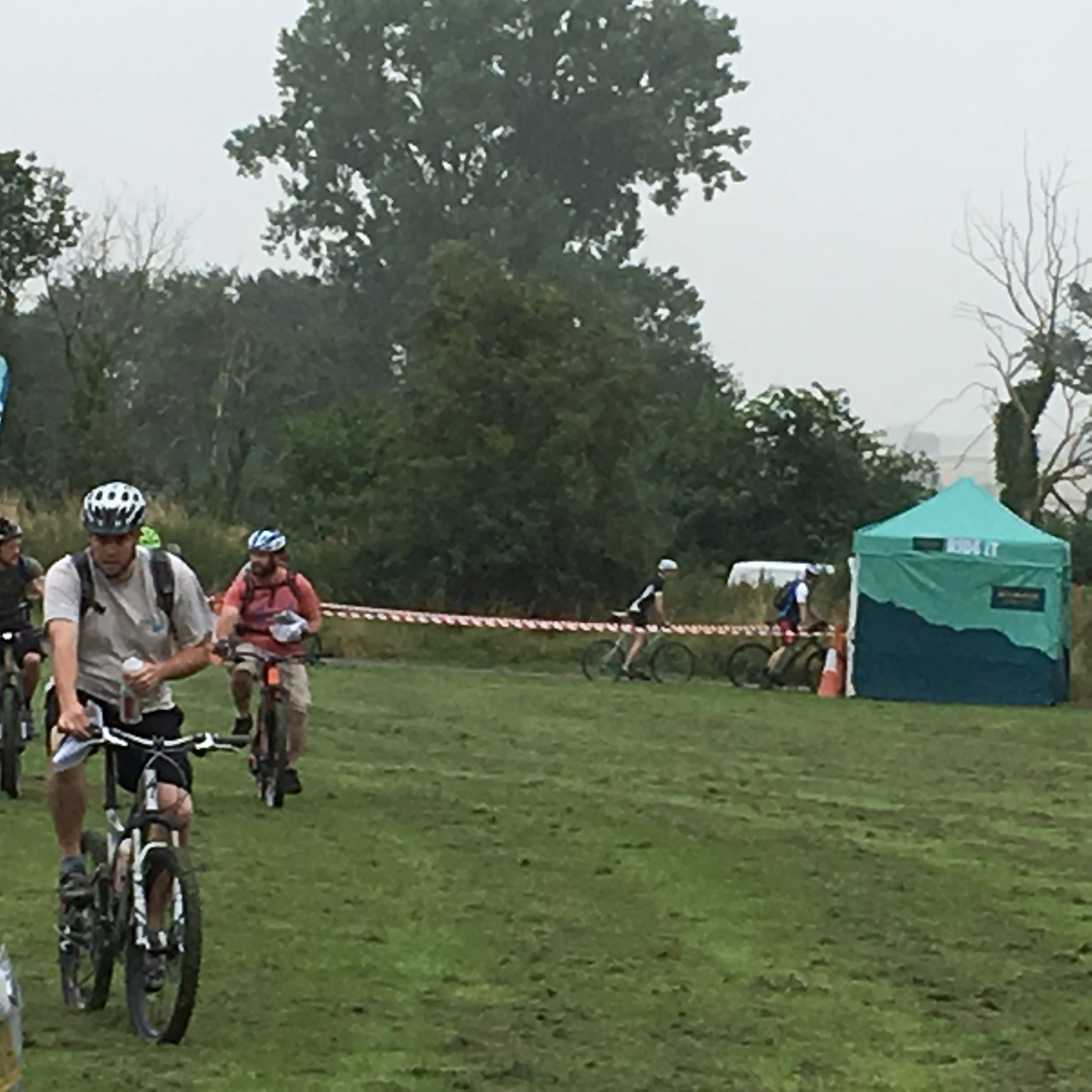
What a shocker! To say it was undulating is a bit like saying the Himalaya is a bit lumpy! To be fair, they did say in the pre-ride briefing that there was 4,500feet of climbing but that only really sank in once I had started. We started easily enough riding along bridleways through fields which were easy enough, albeit a little rough going as the ground was hard and bumpy and provided you didnt mind the track disappearing under grass and other growth.
The first third was reasonable, heading up towards Dursley, then it got really hilly and quite technical in places. It seemed as though the planners had looked around for the steepest hills and taken us up them only to descend again the other side. The ups were so steep that no-one I saw actually rode them and the downhills suited only the headcase Mountain Bike specialists as they were often stoney and muddy.
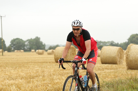
Luckily we were blessed with good weather so didnt have too much mud to contend with and the pit stops were well-stocked with food and drink. Heading South past Wotton under Edge we climbed still more and descended even more - that was a bad sign! Sure enough we were presented with a very long and steep climb which, rather ironically would have been nice in the opposite direction as the ground was pretty even. looking around I saw a train of cyclists reduced to walking and looking very sorry for themselves.
Eventually the route came through Little Badminton and onto roads I recognised from last year - this must be the last couple of miles. There was a lone rider ahead of me and so, me being me, decided to have a go at catching him. I was doing well until the route turned away from the nice road and back onto a seriously muddy track which required some inventive route choices to avoid the worst. As I emerged from the mud, I was alone again, clearly the rider in front had taken the more direct route. a final short haul along a dirt track bought us back to the event area and the finish. I managed a shade over 4 hours which included a 15 minute unplanned diversion where I missed the turning and recorded the 7th fastest time out of 87 riders on the long course - not that it was a race!

Page 1
Ridgeway Rouleur Sportive
Tour of the Cotswolds

Starting and finishing at Oxford United Football ground, the course did an anti-clockwise tour of Oxfordshire to the West of Oxford, passing through some very nice villages (Goring, the Hannays and Ipsden) and passing beneath the White Horse at Uffington. The route mainly kept to reasonably quiet roads in the early stages but did include some major roads later on. It crossed the Thames a couple of times and also passed by the Ridgeway (hence the name). The Ridgeway is a long distance Bridleway running some 87 miles (by an amazing coincidence) from Avebury to Ivinghoe Beacon. At a billed 87 miles (actually 89) with 3,586 feet of ascent it was the longest ride I have done for some time so suffered a little over the last 10-15 miles - mostly sore arse, but the legs were also a little tired at the end. I managed 5:19:07 which put me in the Gold Standard so was more than pleased with that. Free T-Shirt, medal, water bottle and the usual gel-giveaways completed an excellent day out. The sun shone all day which was a bonus.

Page 1
Peaks Tour Sportive
Tour of the Peak District

Starting in Bakewell at the Showground is quite inspired - there is plenty of parking, good facilities and the town can occupy 'the better half' for the entire morning!
Setting off through the town we were soon out into the countryside with some nice long easy rides, a few easy hills and some very nice downhill. I always worry when the downhills are long - there will be a price to pay! Sure enough, we soon arrived at Grindleford and the first big climb of the day. The total ascent of this climb was 750 feet over a distance of less than two miles which is pretty good going by any standards. One or two thought better of it and were soon walking. Maybe they were sensibly saving their legs for later.
After about 16-17 miles we arrived at the village of Hope with Castleton and the very big climb ahead. Having local knowledge I knew to take it easy along the road which is pretty flat at this point. Through Castleton and Winnats Pass comes into view as a carving in the hillside. Flags denoted the start of the 1.4 mile climb which was also billed as a Strava segment. In addition, the road was closed to all but cyclists which was sensible move as there were bikes all over the road including a good share of dismounted cyclists. Of course I had to ride without getting off which I managed (just) and arrived at the top, lungs bursting and legs complaining but stayed on and managed to get over the final small incline at the top to enjoy a downhill rest. Many stopped at the top for a break. My time was exactly 14 minutes which wasn't too bad I thought. The official Strava segment for the day claimed the fastest time being 8:44 so I was happy with my time.
From there, the route continued Eastwards in an anti-clockwise direction through Peak Forest and Peak Dale then Dove Holes and onwards towards the outskirts of Chapel en le Frith at 30 miles. Past Combs Reservoir the route soon turned South but climbed steadily for the next five miles which meant a steady pace could be maintained although towards the top, fatigue started to creep in. From there the reward was a good stretch of downhill and almost into Buxton, but avoiding the town nicely which was good planning.
Some good fast roads followed with other small country lanes. The interest level was always high and the scenery of course was excellent.
After about 60 miles, we passed through Hartington Village which is one of my favourite villages in the Peak District - something it seems, was shared by about a thousand other people today with cars, motorbikes and cyclists everywhere. Pressing on, I joined a couple of other cyclists on the long five mile climb up, sharing the work until one of them dropped off the back and her buddy slowed to wait, leaving me on my own to finish the climb.
From here we had a short ride into Monyash then a brief climb up before the long eight miles down into Bakewell and the finish. Post-race T-Shirts, goodie bars and medal were handed out and a nice easy ride back to the car.
Total Mileage: 72 miles
Total Ascent: 6713 feet.

Page 1
Compton Hospice Sportive
Tour of Shropshire and Worcestershire
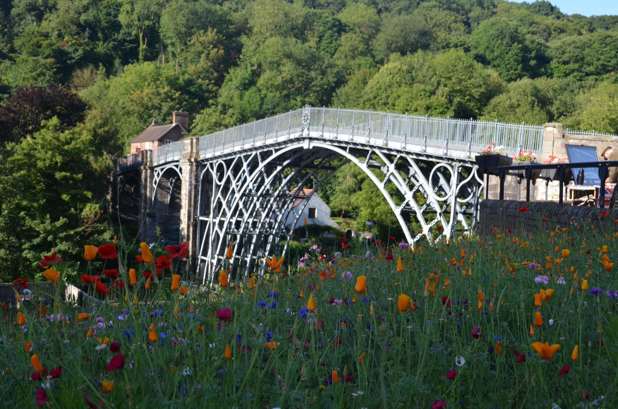
This was the second year of the running of this event and is proving very popular indeed with several hundred cyclists riding one of three routes; Epic at 100 miles, Standard at 65 miles or Short at 24 miles.
Once again I chose the Standard route and after negotiating the rather slow start system - 20 riders at a time were allowed out onto the road after receiving the usual Health and Safety briefing which meant a 20 minute wait in the queue. Luckily it was a warm morning.
Soon enough though I was out and off with my little group of twenty riders. As usual, the split came quickly and I joined the leading group of six or seven, well, until the first bend where a couple of riders ahead touched wheels and 'bang' down went a rider. Myself and another just about managed to avoid the crash. Luckily the guy was unhurt but a little shaken. I decided to move ahead to be out of the way of any repetition.
The route starts in Worcestershire, passing through Bridgnorth, crossing the River Severn then into Staffordshire briefly, then Shropshire to tour around the Wrekin at about 40 miles, which is where the course gets its name. The latter county being easily recognised by the number of climbs encountered!
Of course as with all Sportives, there are always riders ahead to be caught and today was no exception. There must have been at least two hundred start before me so I had plenty to go for. At times I would catch other riders, then ease off in the group for a breather before pressing on again, at other times I would pass at speed and not pause. I didn't get it all my own way though with groups catching me from time to time, although I did try wherever I could to jump on the back for a tow.
The route setters though, must be commended for an excellent course that very neatly avoided most major roads but fiendishly included some testing climbs, including the climb out of Bridgnorth and the climb out of Ironbridge, reducing many to walking.
A highlight for me again this year was Ironbridge and the Severn Valley which is steeped in history, although today it was also packed with tourists so a bit slow through the town - why is it that car drivers insist on overtaking a bike only to stop almost immediately and block the cyclist?
The final big climb of the day comes at the end of the valley taking us out and onto quieter roads again for the final 15 miles or so back to the finish.
A similar time to last year at just over four hours with a similar distance recorded and a medal handed out by Hugh Porter again made the day complete. Last year I said I'd do it again, this year I'm saying the same. Great course, great views, great company the sun has shone both times so no reason to think it won't be sunny again next time.

Page 1
French Alps 2017
Thursday 22nd June
We flew into Lyon airport from London Gatwick, arriving late morning. The flight takes about 1 1/4 hours so is quick and easy.


Bryan, our host was there to meet us and we quickly loaded the bike bags onto the trailer and onto the back of the van. Soon we were off to our destination; Chalet Michelle in the small village of Venosc near Bourg D'Oisans. It is about two hours drive with steadily improving views as we travelled and soon enough we started to see the big stuff.
The chalet is a few miles outside Bourg in a small village called Venosc which is on a hillside. We were told it was 300m from the main road to the chalet itself. We were not sure whether that was vertical or road distance - in fact it was road distance, much to our relief, although it is all up hill.


On arrival, we busied ourselves assembling bikes and bagging rooms and were soon away on our afternoon ride to the Col D'Ornon, a relatively (we would discover) easy ride. En-route we decided that lunch was more important so stopped at a cafe in Bourg for a sandwich and drink. It took almost exactly one hour from the chalet to the summit on steady 5% climbs. There is little there except a small cafe but once regrouped, we turned around and headed back down towards home. On the way, someone had the bright idea of stopping for a beer at the Dutch Bar which received no objections - this would become a very regular feature of our daily rides.
Suitably fortified, we completed the final ride and uphill to the chalet which seemed remarkably easy which may have had something to do with the beer or maybe we were just fit!
The evening was spent dining, exchanging banter and relaxing ready for tomorrow, our biggest day.
Total Mileage 26 miles and 3,300 feet of climbing
Friday 23rd June
Today was planned as the big one. A couple of the guys were planning the 'Marmotte' a huge day out covering the Glandon, Telegraphe, Galibier and a final ascent of Alpe D'Huez. A second pair were going to 'give it a go'. The rest of us knew it was silly and so set our sights on the Croix de Fer (very close to the Glandon and somewhat higher).


Climbs in this region are very long. We had an hours ride to the foot of the major climb, then it went up! Boy did it go up! With the exception of a balcony about half way and a very depressing couple of descents, because we knew we had to regain the height almost immediately, it was non-stop at 6-10%. Finally after 2 1/2 hours we reached the cafe at the junction for the Glandon/Croix. Coffee, cold drinks and water refills boosted us. At this point four riders set off on the big one, with the remaining four heading for the Croix de Fer some 2km or so uphill. Summiting, we felt pleased with ourselves and after the obligatory photos, set off back down, planning to meet at the cafe on the balcony for lunch. As it turned out we all rode pretty much together and arrived as a group. A very leisurely lunch followed, safe in the knowledge that it was all downhill or flat from here, or at least to Bourg, but beyond that was too far in the future to care about!
Lunch done, we rolled down, pausing for photos on the way until we reached Bourg and the slight uphill back towards the Chalet. The Dutch Bar proved too much of a draw and so we elected to stop for a couple of beers before making our way back up to the chalet. On arrival, we discovered that two of the split group had abandoned in Valloire and had to be rescued by Bryan. In fact, this was the very worst place to abandon as it was as far as possible on the route from the chalet! The two remaining riders (Rich and Iain) made it round and arrived back not long after the rescued riders.
The evening was full of stories and banter about riding, walking and abandoning.
Total Mileage 60 miles and 7,400 feet of climbing
Saturday 24th June
Today was the day for tackling the iconic Alpe D'Huez in all its glory. Before we started the climb there was an emergency trip into Bourg as Adrian was suffering with a stomach bug and a couple of the others needed cash. That done we set off for the big climb.


Alpe D'Huez starts almost immediately out of Bourg with a short run-in before the gradient goes up dramatically at about 8-9%. One of the nice things about the climb is that there are 21 hairpin bends, all numbered with 21 at the bottom, so it is always possible to estimate how far there is to the top. The hairpins are not equi-distant but even so, give a good indication and some bonus confidence as they are counted down. Each bend is dedicated to a previous stage winner on the Alpe and features some very famous names; Pantani, Zoetemelk, Coppi etc but of course no Lance Armstrong for obvious reasons, although he was there on hairpin 21 at one time. It was hot and windless which was better than cold, rainy or windy as we wound our way up. At a couple of the bends there are photographers taking snaps which can be purchased later. Finally the bends came down to one and we rode into the lower part of Huez to cross the 'Tourist' finish. Being double-hard we had to go to the official 14km finish at Upper Huez which, not surprisingly was further uphill. Due to a minor navigational error, a couple of us rode slightly higher than actually required - we were obviously suffering altitude sickness! Obligatory photos were taken before we rolled back down for our lunch stop amongst the several hundred other cyclists all enjoying their moment of fame.
Lunch, surprisingly, was quite reasonably priced and we enjoyed a spot watching other cyclists head for the finish. Lunch done, we headed for the tourist finish for podium photos and to refill our bottles at the water tap. Every town and village seems to have a free water tap which is a brilliant idea and means you are never far from water - although given the gradients, could be some time!
Huez finished we headed back down, one of our number electing for a ride along the Recluse, another deciding on the direct route down and the remainder of us attracted by the 'balcony' which sounded a really nice ride at high level along the valley. It turned off at about hairpin 15 heading in the direction of the chalet. Starting flat we rolled along happy that our work was done for the day. Then...it went up...and up...and up, to the point that we were convinced we would see Alpe D'Huez finish line again! The views were spectacular but boy was it hard! Finally we reached the top and began a similar descent down to the village of Freney where we stopped for a good break before joining the main road taking us down to the main Bourg road and then left to the ride to the Dutch Bar to sample a beer or three. Slow, tired legs took us back up to the chalet for a very well earned shower and dinner.


Tonight we dined out in Venosc at the Dolilou restaurant which was very nice. There was a tiny bit of rain but it stopped almost as soon as it started and being British we toughed it out.
Total Mileage 44 miles and 6,600 feet of climbing
Sunday 25th June
Today we elected to ride to Villard Reymond which was a nice ride up, not stupidly steep but still a good pull. There were plenty of photo opportunities (rests) along the way but eventually we arrived in the village, riding to the usual water fountain for a drink and cool off.


The done, we rolled a hundred metres or so back down to the cafe where we enjoyed the sun and an excellent sandwich and drink. There was a small group of French people enjoying some wine tasting and I managed to blag a glass of the white which was very nice! After lunch we rolled down the hill again, a few of us electing to ride into Bourg for a quick sight see and maybe shopping, but being Sunday, most places were closed so we saved our money and rode back to the Chalet via the Dutch Bar for a couple of quick ones. Back at the chalet, showered and changed, I decided on a walk into the village as it super sunny and I hadn't had the chance or desire to visit (too tired to walk). It is very pleasant with a few Artists shops although everything was very over-priced so nothing was purchased, except a beer in one of the bars.
Dinner was its usual excellent fare and we were soon relaxing on the balcony trading insults and banter.
Total Mileage 37 miles and 4,800 feet of climbing


Monday 26th June
Today was going home day. A few went for a morning ride but I'd had enough so spent my time packing and relaxing on the balcony. Lunchtime we all went down to the town for a final meal and beer before heading off for the airport and home. Slightly disappointing was the confusion with boarding and security which meant our flight was delayed over 1 1/2 hours. I finally got home at 11:30pm

Page 1
2018 Time Trials

| Date | Distance | Course | Time | Standard | Average Speed |
|---|---|---|---|---|---|
| 05/04/18 | 5.5 | Hanley Swan | 15:32 | N/A | 21.2 |
| 10/05/18 | 10 | Hanley Swan | 28.08 | Silver | 21.3 |
| 24/05/18 | 10 | Severn Stoke | 27.38 | Gold | 21.7 |
| 28/06/18 | 10 | Kinnersley | 27.42 | Gold | 21.7 |
| 26/07/18 | 10 | Chance Lane | 28.03 | Silver | 21.4 |
| 02/08/18 | 16 | Castlemorton | 45.24 | N/A | 21.1 |
| 23/08/18 | 10 | Chance Lane | 28.30 | Silver | 20.4 |
| 30/08/18 | 5.5 | Hanley Swan | 14.42 | N/A | 21.7 |
| 13/09/18 | 1km | Longdon | 1:32 | N/A | 24.5 |
Average Speed is ((60 * 60) / (Time in secs)) * Distance

Page 1
BHF Sportive
Tour of the Cotswolds
The annual BHF Sportive started as always at Cheltenham Racecourse but shortly after the start, the similarity with events of previous years came to a sharp end with a climb of Ham Hill which was a brute and seemed to go on forever. I managed to ride to the top but I passed many walking and we were only 20 minutes into the event! At the top it picked up the familiar Syreford Road and the second stiff climb out of Charlton Abbots, again passing many walking. From here it was steady rolling countryside before a stiff descend to Guiting Power, but then another good climb up to Ford.
From Ford we undulated to Snowshill where the fastest downhill section came on the road to Broadway where my speed hit 75km/h. Turning left just before Broadway we rolled out to Dumbleton and then onto Winchcombe before turning back through Gretton and Gotherington and through Bishops Cleeve and back to the racecourse.
I completed the 80km course in just under three hours so was well pleased with that. The weather was superb all day, the organisation perfect with excellent signage and a medal and water to finish.
Warwick Sportive
Tour of Warwickshire
Centred at the Warwick Racecourse, the 68 mile Standard route organised by Wiggle went South as far as Shipston on Stour before turning North again to return to the Racecourse.
The route kept off the main roads as much as possible, although there were two or three short unavoidable sections but were well marshalled to prevent any incidents. The second half was definitely more hilly than the first with a number of stiff climbs to test the legs.
The weather was excellent, organisation first class, feed stops well planned - although why they are always in a car park with a gravelly surface is beyond me!Surely there must be more bike friendly places to locate them?
I have no idea how many people rode the event but if someone told me it was a thousand, I wouldn't be surprised.
I managed just under 4 hours not including stops and was clocked in at 4:06:27 which gave me a Gold Standard so happy with that.

Page 1
2019 Time Trials

| Date | Distance | Course | Time | Standard | Average Speed |
|---|---|---|---|---|---|
| 16/05/19 | 10 | Chance Lane | 28:08 | Silver | 21.3 |
| 30/05/19 | 10 | Severn Stoke | 27:52 | Gold | 21.5 |
| 27/06/19 | 12 | Welland Hilly | 43:05 | N/A | 16.7 |
| 04/07/19 | 10 | Severn Stoke | 26:49 | Gold | 22.4 |
| 18/07/19 | 25 | Rhydd | 72:59 | Gold | 20.5 |
| 01/08/19 | 10 | Chance Lane 2-Up | 31:40 | N/A | 18.9 |
| 29/08/19 | 5.5 | Hanley Swan | 14:50 | N/A | 22.2 |
| 12/09/19 | 5.5 | Hanley Swan | 14:39 | N/A | 22.5 |
| 19/09/19 | 1k | Longdon | 1:33 | N/A | 24.1 |
Average Speed is ((60 * 60) / (Time in secs)) * Distance

Page 1
Sportives 2019
No Excuses Midlands - 84 miles
I'd entered for the Standard course which was 65 miles as I felt that the Epic at 84 miles would be a bit far this early in the season. It turned out to be a glorious day warranting shorts, but a long sleeved top. Setting off with a group, we soon changed order with some going off quickly and others easing in to the day. I felt quite good, despite having a good walk in the Peak District the previous day so decided to leave the decision about whether to do the Epic or Standard until the split point which was around the 40 mile mark.

Heading South along good roads I managed to get in with a couple of different groups including a large contingent from the Buxton Cycling Club who seemed to be riding at my kind of pace so I mingled in and rode with them. Abbots Bromley and Yoxhill were familiar to me as I often used these roads when driving up to the Peak District. We passed through Staffordshire, Derbyshire and Leicestershire on the tour round right down to Twycross before starting back North West again with a few small hills but mostly easy stuff. At the second feed station we pulled in and I set about grabbing some jelly beans and a fig biscuit - my favourite riding snacks, then waited for the Buxton team to set off. They seemed to be dawdling so I decided I would go and be caught later, then hop on the back of the group for the remainder.
After about 5 miles, no sign of Buxton so I pressed on fully expecting them to catch me, but no. The final feed station and still no sign, so I topped up my sugar levels again and set off for the final section, now convinced they wouldn't catch me. There was one final big hill; Hanbury Hill, coming at just over 4 hours which was a good pull, but then it was easy if undulating right to the finish. I'd done the Epic course in a recorded time of 5hr 15 minutes which was good enough for Gold, but my Garmin Computer recorded 4hr 56min not including stops which was not too shabby I thought.
BHF Cotswold Sportive 50 miles
I've ridden this one several times and the report from last year just about sums it up so have a read of that if you're interested. I did about the same time too so pleased with that, but this time I rode out from home and back again so did around 65 miles altogether in just over four hours.
Compton Hospice Sportive 65 (70) miles
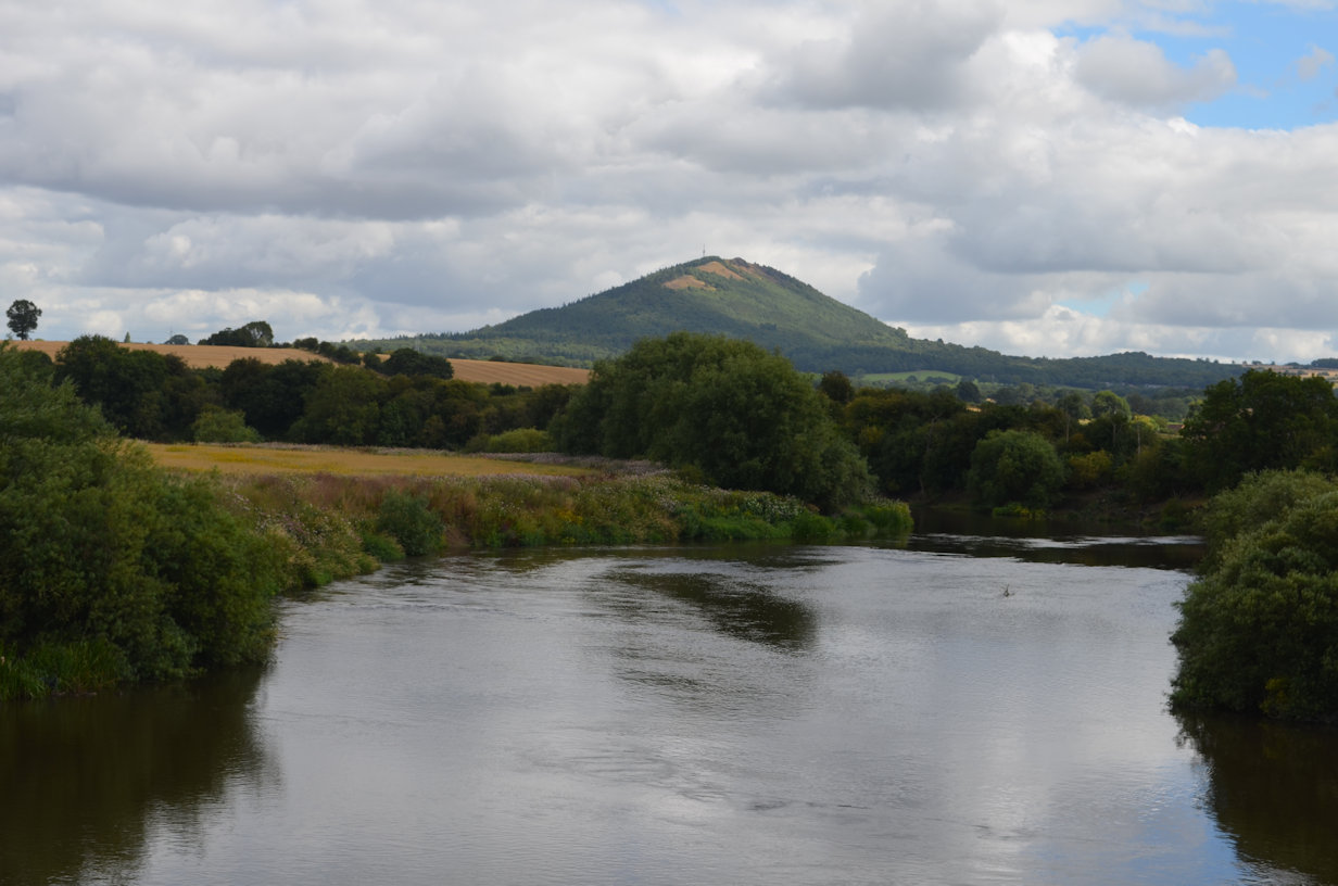
Once again the Compton delivered a fine course. Similar to previous courses but with some slight differences apparently. I couldn't remember most of the previous course so didn't notice the changes. The highlights were some excellent climbs, including one at 18% and in particular, the Wrekin itself which is just the right gradient for attacking, although after a flat section it goes up steeply which reduced my attack to a survival exercise! Another highlight was the ride down into and along Coalbrookedale and through Ironbridge which is wonderful. They had a food stop there which I took advantage of as there is an equally long ascent back out of the valley so I needed to stoke up.
With just over 1,100 metres of ascent it was harder than the BHF ride but I averaged around the same speed which was nice to know. Unfortunately there were a couple of sections with missing direction signs causing some consternation and some inventive relocations resulting in a total distance just shy of 70 miles. Once again Hugh Porter was on hand to dish out the medals which was nice.
Cotswold Sportive 80 miles

Starting and finishing at the Fire Service College at Morton in Marsh the route wound its way anti-clockwise around the Cotswolds visiting Shipston On Stour, Chipping Campden, then a big climb up to Broadway Tower, through Temple Guiting and Ford onwards to descend the big hill to Toddington and just skirt Winchcombe to climb the tough Sudeley Hill which had many (not me!) walking most of it before sweeping down through Guiting Power, a beautiful little Costwold Village and the scene of an Annual Music festival which was in full swing as we rode through.

Bourton on the Water provided a pleasant, if interesting section where we encountered more than our fair share of single minded drivers, stopping for no reason, pulling out without looking and generally proving a danger to themselves and other road users, coupled with pedestrians who were in full holiday mode i.e. walking into the road without even a glance. I was well pleased to be headed out towards Little Rissington and the Feed Station, slightly off route, but worth it to top up the water bottles for the last 10-12 miles on good fast roads.
An excellent route and an excellent day out. The weather was generally kind to us with no rain, but strong winds at times, making some of the flatter sections seem harder than they should have been.

Page 1
Snowdonia to Snowdonia Road, Tewkesbury
The build up and planning
It started out as a casual conversation between myself and my neighbour Steve on the subject of a charity ride. We quickly identified the charity we wanted to raise money for, Winstons Wish. The charity works for children who have had bereavements and helps them through it. Other neighbours in the road had used them and it seemed fitting.

So, we knew what we were going to do, ride from Snowdonia in North Wales back to our home in Snowdonia Road, all we had to do, apart from the ride itself, was to plan the best route and sort out accommodation. Of course, it's not that simple. We had to consider a support driver, see who else we could persuade to do the ride and prepare both ourselves and our bikes.
The support driver was easily solved, in fact we had two volunteers, I suspect their enthusiasm to drive was preferable to being co-opted into cycling! We got a third and fourth rider, although the fourth rider had to drop out, so there was three of us. Gareth, the third rider didn't actually have a bike so I loaned him one of mine and all was well. We did a few training rides together to get used to riding as a team. I showed the other guys the fundamentals of signs indicating potholes etc, how to change leader and general etiquette. As the ride date approached, we fine tuned the route, sorted accommodation and told the Winstons Wish Team of our intentions, who very kindly provided us with Team cycling tops so we really looked the part. They were bright pink, but apparently that is the most easily noticed colour so there were pros and cons.

The day before the ride, we drove up to Snowdonia, having booked into the Pen y Pass Youth Hostel. On the way we experienced a full range of weather from glorious sunshine to heavy rain and back again. The weather forecast for the next couple of days was pretty dire but there was nothing we could do about it. Being a Wednesday, the traffic was pretty good and we soon found ourselves on the final drive up out of Betwys y Coed with me playing mountain guide, pointing out important mountains, especially Snowdon itself. On arrival at the hostel there was a huge coach parked in the very limited space, but there was enough at one end to get our van in, unfortunately it was chained, but a quick word with the warden and we were in and sorted. The evening was spent eating and drinking and relaxing before a relatively early night in preparation for the big day tomorrow.
Thursday 8th September 2022
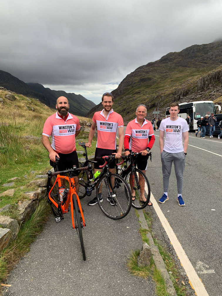
We woke early and went for our cooked breakfast which made a great start to day. Soon packed away, we were outside assembling our bikes and having team photos. At this stage it was cool, but not cold. I wore a long sleeved top and my Winstons Wish Team top over it, with my trusty waterproof jacket in the pocket ready for when the rain started. It was currently dry, but with some menacing clouds overhead. Eventually we set off and with the prospect of seven miles of downhill and flat ahead of us, we felt relaxed at the prospect of such an easy start and enjoyed the speed as we rode down to the Pen y Gwryd Hotel and turned right towards Beddgelert on even more downhill.

Once at the lake, the road flattened but it was an easy ride into the village before leaving in the direction of Garreg and Penrhyndeudraeth. Garreg would be our turn off point which pleased us no end as it was a much easier place name to pronounce. I knew the road quite well as I'd used on a previous mountaineering expedition to climb Cnicht and other peaks in the Moelwyns group of mountains.

Eventually we popped out onto the A487 which is quite a busy road and soon started the long slow climb up to Trawsfynydd and the Llyn (lake), another unpronouncable Welsh village. Near the summit, Steve and I realised that Gareth was not behind us. We stopped to wait, expecting to see him any second but the seconds turned to minutes, surely he wasn't that far behind. Steve's phone rang, it was Gareth! For some inexplicable reason, his Sat Nav had told him to turn off and he'd followed it, then thought it odd that we were not waiting for him. I rolled back down the hill and spotted him in a side road which could not have possibly been faster or shorter than the almost straight road we were on! It's a good road once the top is reached and it took us quickly down to Dolgellau where we were meeting the support van, conveniently at a Starbucks. Gareth and Steve ordered sandwiches and cake. I'm not one for big meals when riding so had a cookie with my coffee.
Break time over we had a long climb up to the Cross Foxes and in my mind, there was some flat riding to the big climb up the pass between Pen y Brynfforchog and Maesglase. The reality is that it uphill pretty much all the way with the gradient getting steeper towards the summit of the pass. We rode at our own pace and met at the top where the van had moved to, just in case anyone needed oxygen! No one did, but we loaded up with Haribos and Goodie Bars to be on the safe side.

From there we had some good downhill and the run to Dinas Mawddwy went quickly, but soon after we turned onto the Welshpool road to be met with a long steady climb that seemed to go on forever. The miles passed by and we were relieved to arrive at the turning towards Montgomery which signalled the final phase of todays ride, but it was far from over. The ride down to Montgomery had more than a fair share of climbs which sapped the strength and seemed to go on forever, some climbs being long and steady, others short and sharp, including the final climb into Montgomery itself. Ryan had parked the van on the far side of the town so we rolled down to a well earned break and the opportunity of grabbing some food and bottle top-ups.


Suitable refreshed, it was onto Bishop's Castle which signified the end was near being about five miles from Clun, our overnight stop. The final run down into Clun was all downhill which was a nice end to the day, but obviously meant the morning would start with a climb! We soon located the very quaint Youth Hostel and were checked into our room, which, for four of us, was huge.
Shower, change and we were out in search of food. The first pub we came to didn't sell food but we had a beer anyway, then off up the road for a sit-down meal which hit the spot very nicely. Walking back to the Youth Hostel we noticed it had been raining. This was the story of the day. We, the cyclists had had almost no rain, just a few spots a couple of times, but the roads were soaked in places and even our support driver had reported torrential rain. How we had missed North going rain clouds when we travelling South is a mystery that will never be explained by convential science.

The total cycling today was 150km with a total ascent of 1,768m and total descent of 1,945m which meant we were just 177m lower than when we started.
Friday 9th September 2022

We all felt good this morning, and even better after breakfast. The Youth Hostel is self-catering only and we knew that, so had sent our support driver off in search of food yesterday. Bacon, sausage and rolls with coffee and orange juice hit the spot. The driver had purchased eggs, but Steve failed to bring them in from the van!
We knew we had plenty of time today so didn't rush away, leaving around 9:30am. As predicted, the first part of the ride was uphill, in fact the first four miles were uphill on varying gradients, testing tired legs.

Our first meeting point was Knighton which we arrived at without issue and located the van. From there it was along reasonably quiet roads, turning off for Wigmore which boasts a very nice, but ruined castle. I recalled visiting the village on a motorbike tour earlier in the summer and how nice the village hall was, but we hadn't planned to stop, having agreed to meet further down near Aymestry at the 'Watering Hole Cafe'. Easily located we had coffee and toasted tea cakes which went down a storm. During this stop we recalculated and realised that our initially agreed finish time of 6pm was overly pessimistic and even taking it very easy, we'd get there by 5pm, so messages went out to those involved that we'd be there earlier.
Happy with the new plan we set off for the American Diner at Leominster where we would have lunch. A nice ride with some back roads thrown in for good measure bought us into Leominster and I was put on point to navigate the short distance to the Diner. Not wanting to muck about locking or stowing the bikes, we elected to sit outside. The sun was shining and it was warm, so warm that I dispensed with my base layer and rode in just the short sleeved top.
Sitting outside became a 'take away' as far as the Diner was concerned which was a bit of a faff, but we got there and enjoyed a variety of food from bacon and egg sandwich to chips to nachos. Suitably full and having dawdled it was time to move, with the next stage being to Ledbury. There was no need for any kind of Navigation aid as I knew the route well and we soon arrived, meeting at the Market Place, which by luck, or good judgement, was right next to a 'Gregs' which meant we had to have some kind of do-nut each.

Our final leg took us over to Eastnor and the Holly Bush before the final eight miles into Tewkesbury which were dispatched quickly. Despite our dawdling, we still got to Morrisons by 4:30pm so hung about for a while until our police escort arrived and then at 4:55pm set off for the final five minutes of cycling being escorted by a police motorcyclist with full 'blues and twos' going. What drivers behind thought I have no idea, nor did I care, it was our moment! Just before the final turn, the police escort pulled ahead and we turned into Snowdonia Rd to be greeted by thirty or forty supporters.
It was a great finish, and celebrations and stories were told for some time afterwards. The pub had kindly given the riders free dinners and supporters twenty percent discounts so everyone was happy.

The total cycling today was 104km with a total ascent of 742m and total descent of 919m which meant we were again 177m lower than when we started.
Footnote:We raised over £2,000 for the charity as a combined on-line fund raiser and collection tins in the pub afterwards. Our target was just £1,000! The cycling was only one aspect and thanks must go to the support driver, Ryan, Alison (Steve's wife) for booking the Youth Hostels and general admin, all the local Ladies especially Robyn, for setting up the banners, posters and collection tins in the pub and of course the pub itself, the Wheatpieces, for allowing us to use the facilities and providing us with a free meal and sizeable discounts for the supporters.
Malta Cycling
A ride from St Pauls to Cirkewwa
UK Cycling 2013
A ride along the Canal from Abergavenny to TalyBont and return Riding the first Hay On Wye Bike Festival A Sportive around the Cotswolds in aid of the British Heart Foundation A 75 mile Sportive in Mid-Wales from Kington to Rhayader and back A 74 mile Sportive around Malvern in Worcestershire Sevale Time Trial Times Keswick Loop via Ambleside and the Kirkstone Struggle
UK Cycling 2014
A ride along the Canal from Brecon to Cwmbran and return Sevale Time Trial Times Sportive Rides around the UK Riding around Dartmoor and Teignemouth A climb of Winnats Pass and tour of Derbyshire Holme Moss Circuit Tour de France and Tour of Britain Cycling in Southern Spain
UK Cycling 2015
Sevale Time Trial Times Cycling in Southern Spain
UK Cycling 2016
The Sportive around the Cotswolds in aid of the British Heart Foundation Compton Hospice Sportive A Multi-Terrain Sportive in the Peak District A Multi-Terrain Sportive in the Cotswolds
UK Cycling 2017
Sportive around Oxfordshire Sportive around the Peak District Sportive around Worcestershire and Shropshire A long weekend cycling in the Southern French Alps
UK Cycling 2018
Sportives through the year Sevale Time Trial Times
UK Cycling 2019
Sportives through the year Sevale Time Trial Times
UK Cycling 2022
Snowdonia to Snowdonia Road, Tewkesbury, a Sponsored ride
